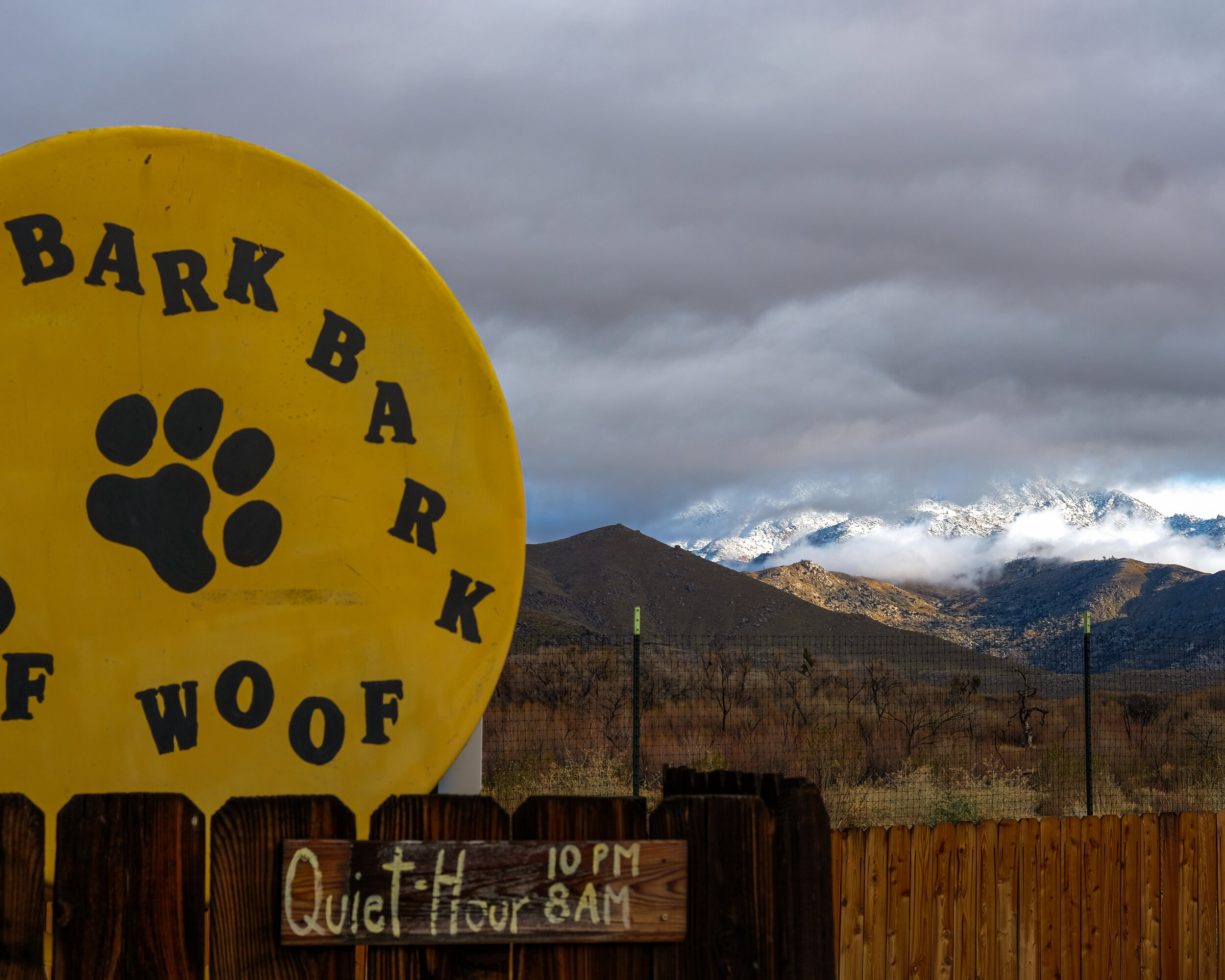
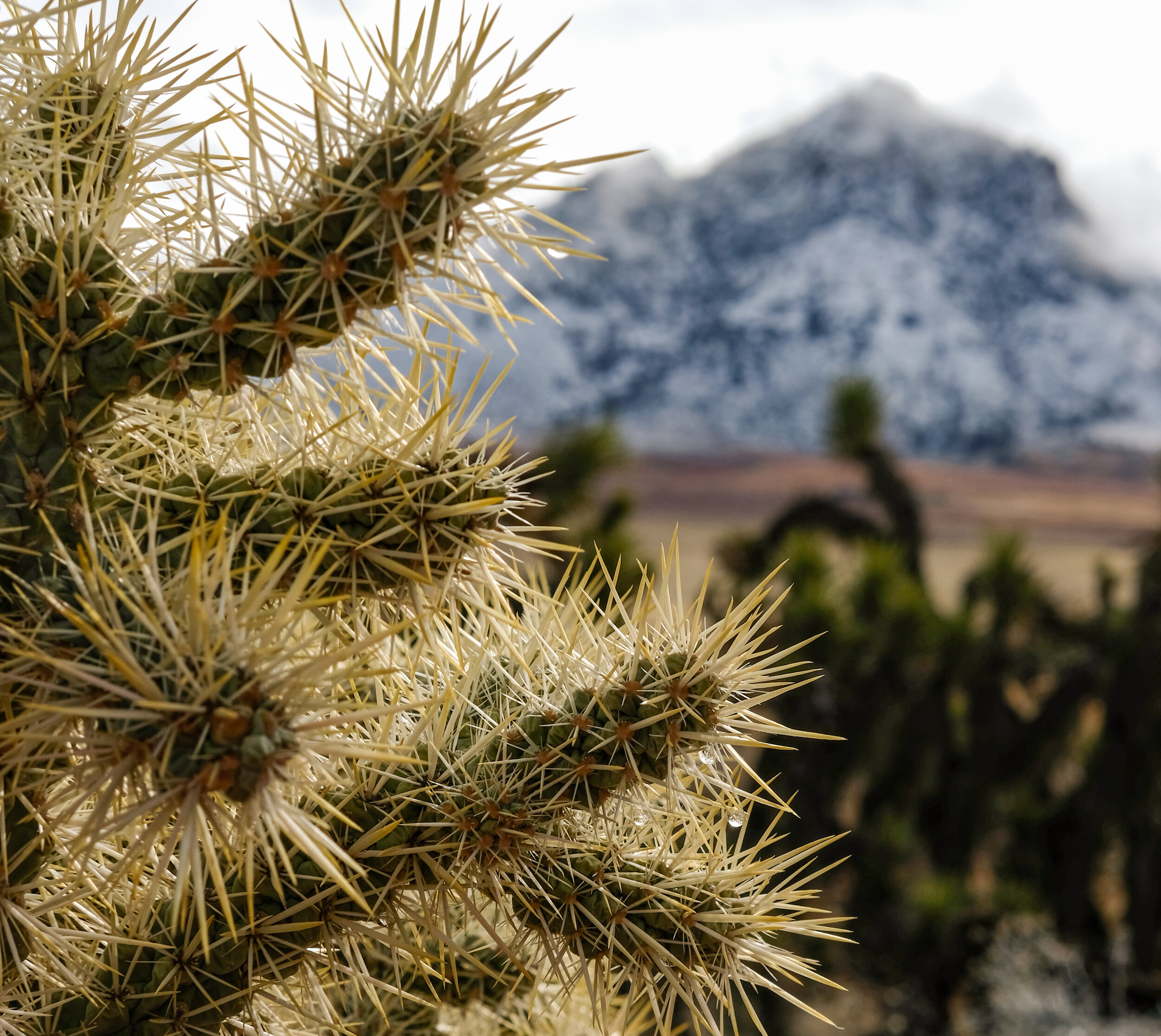
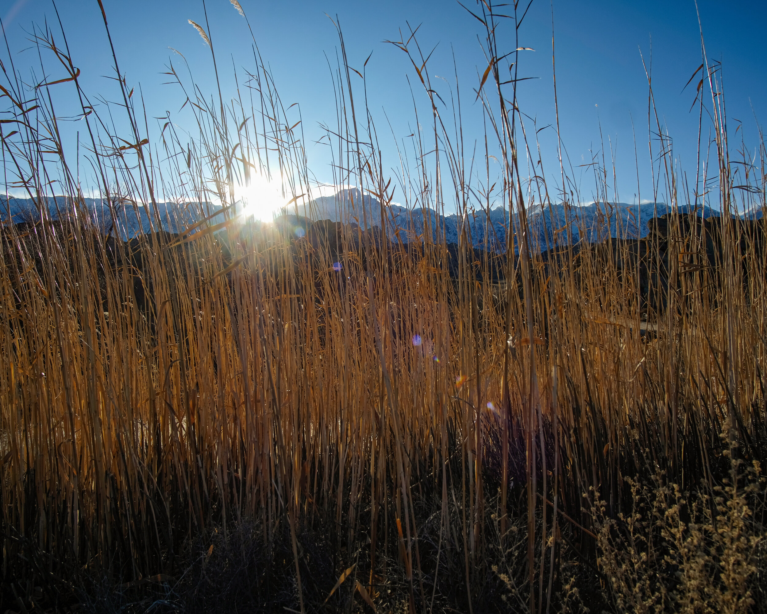
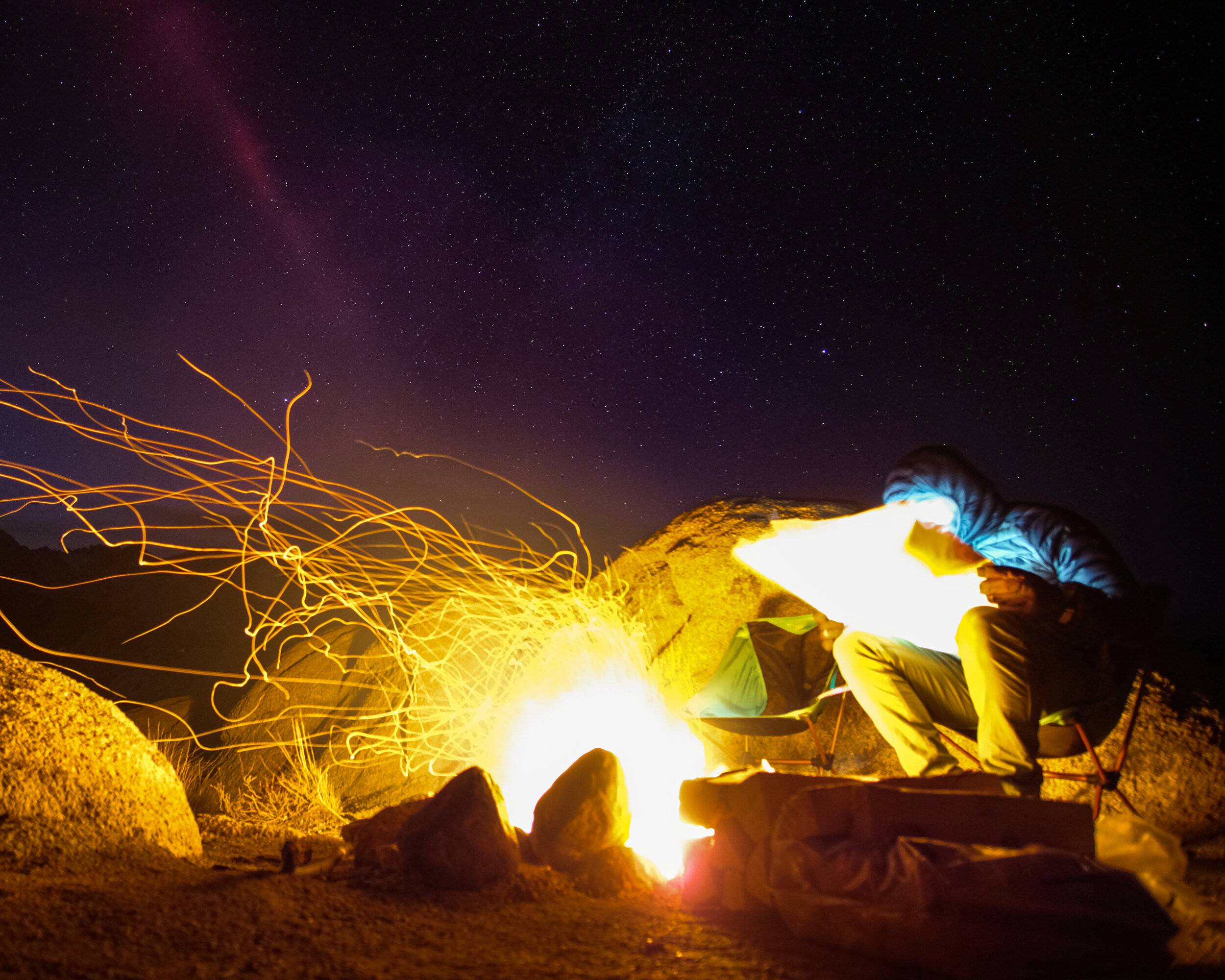
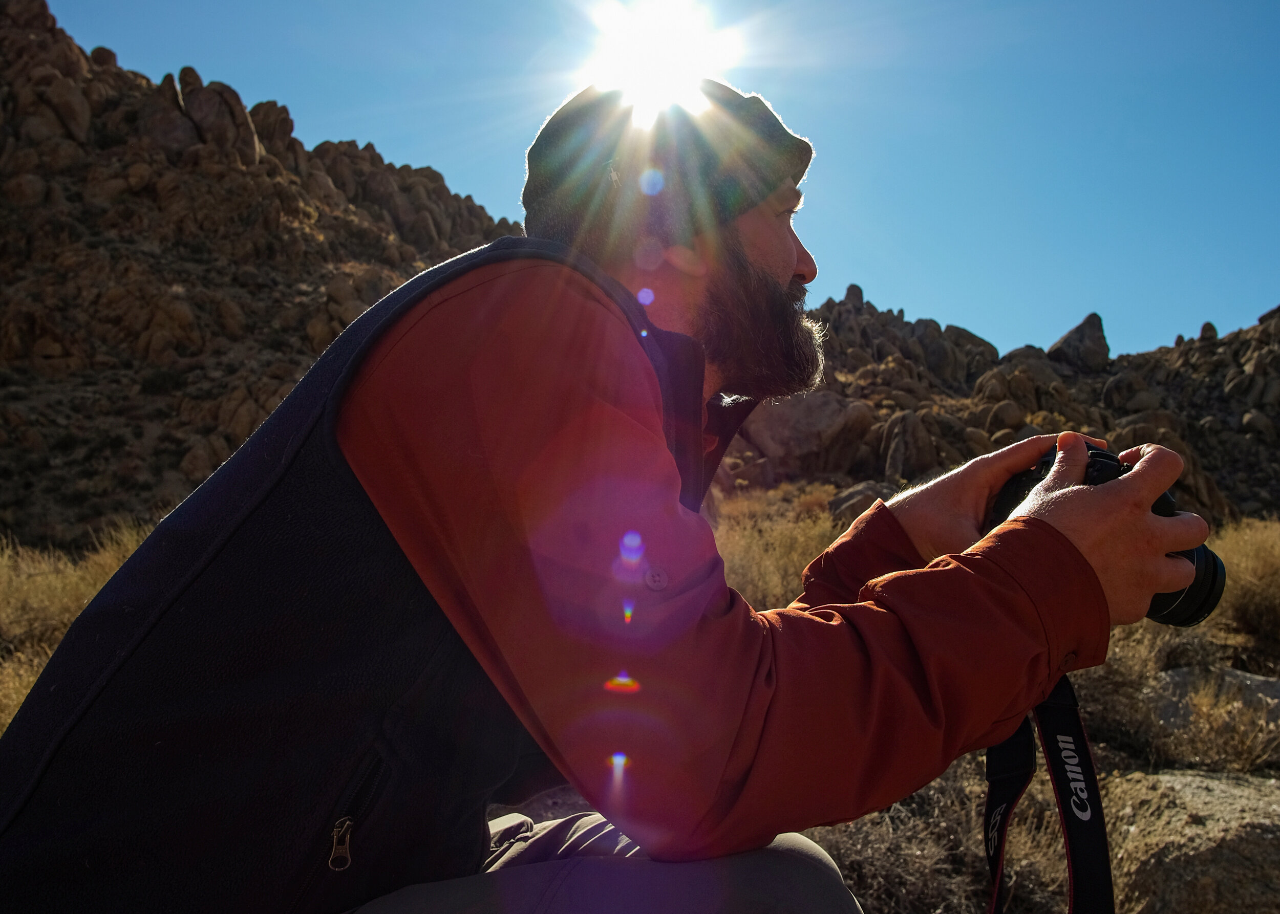
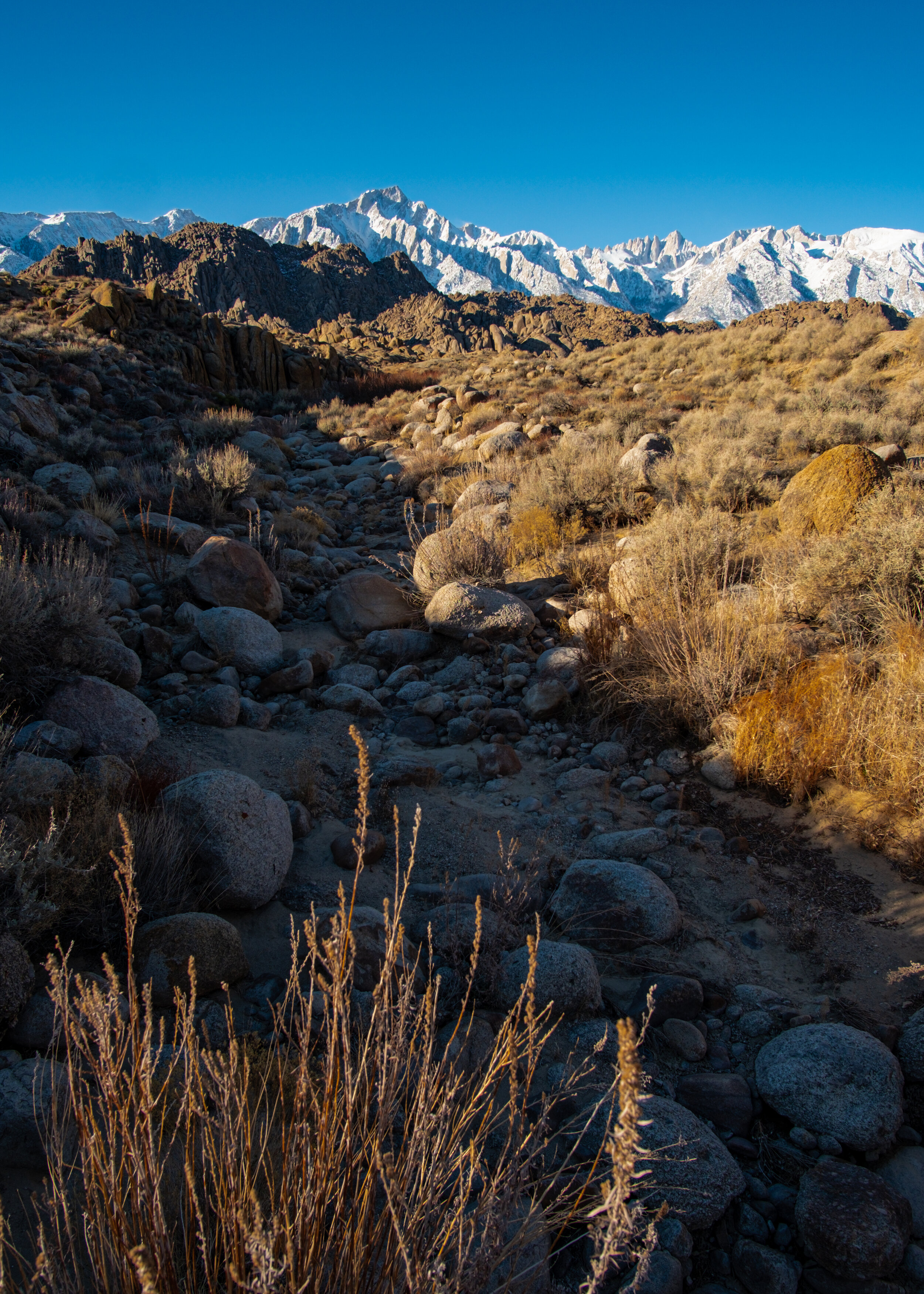
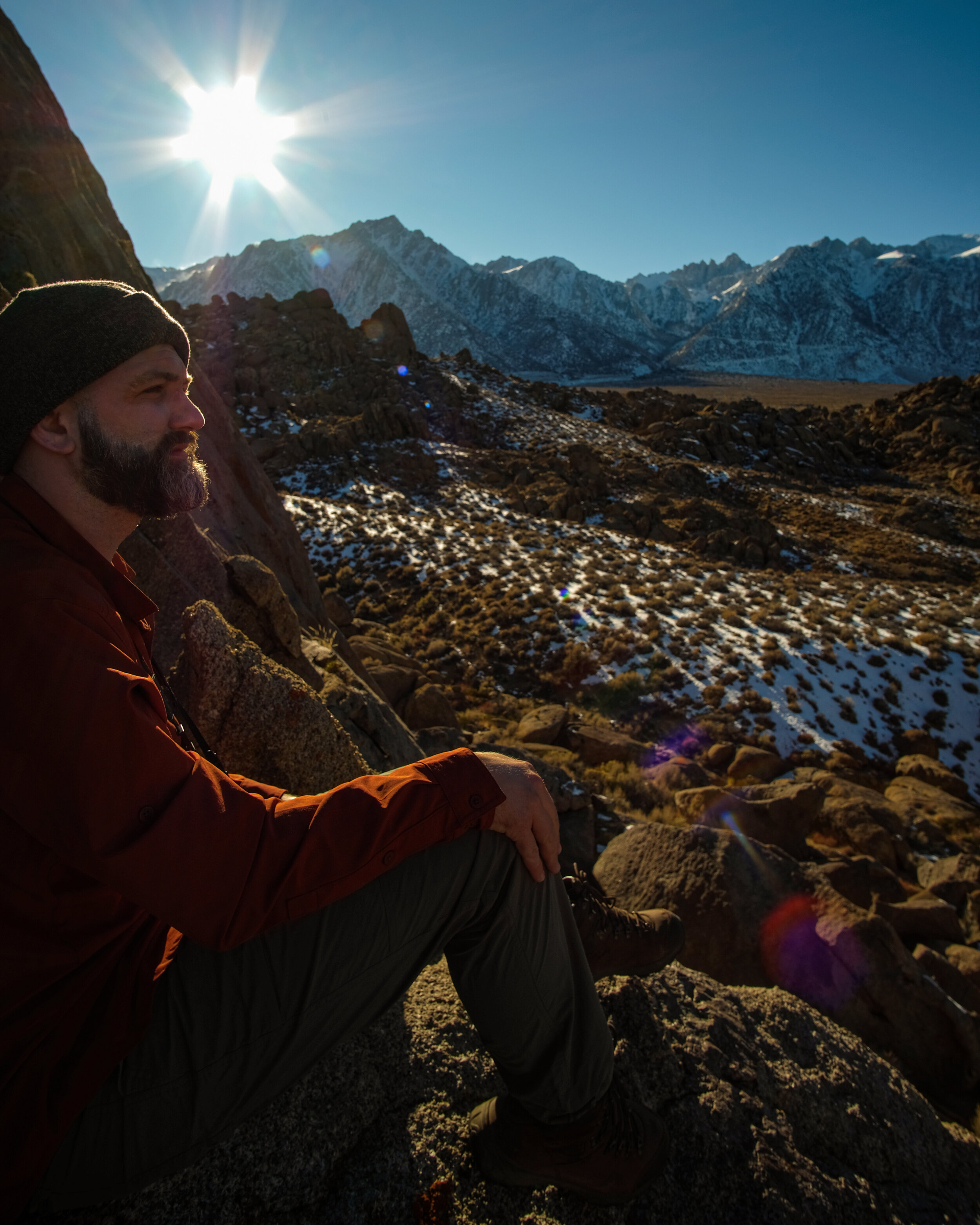
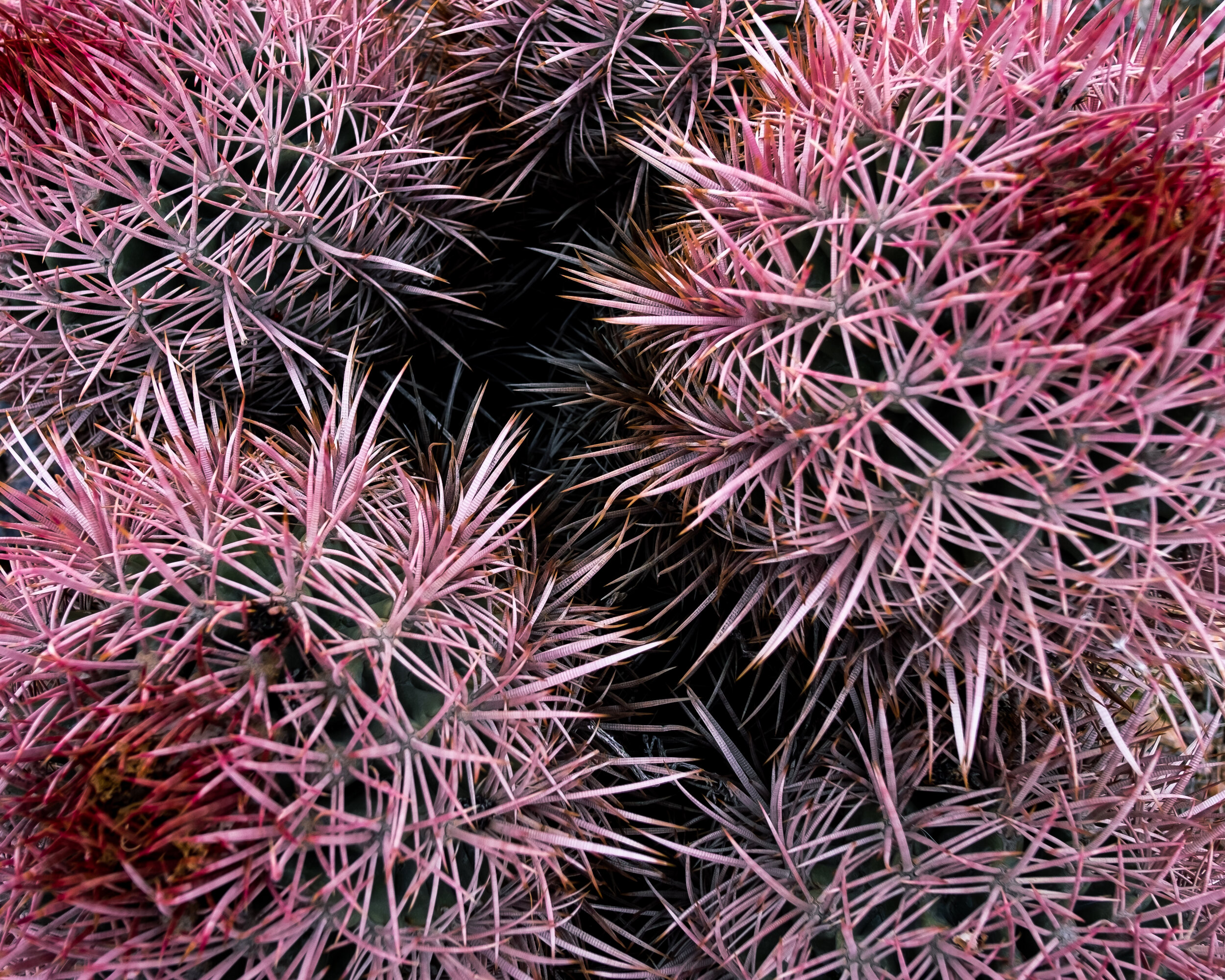
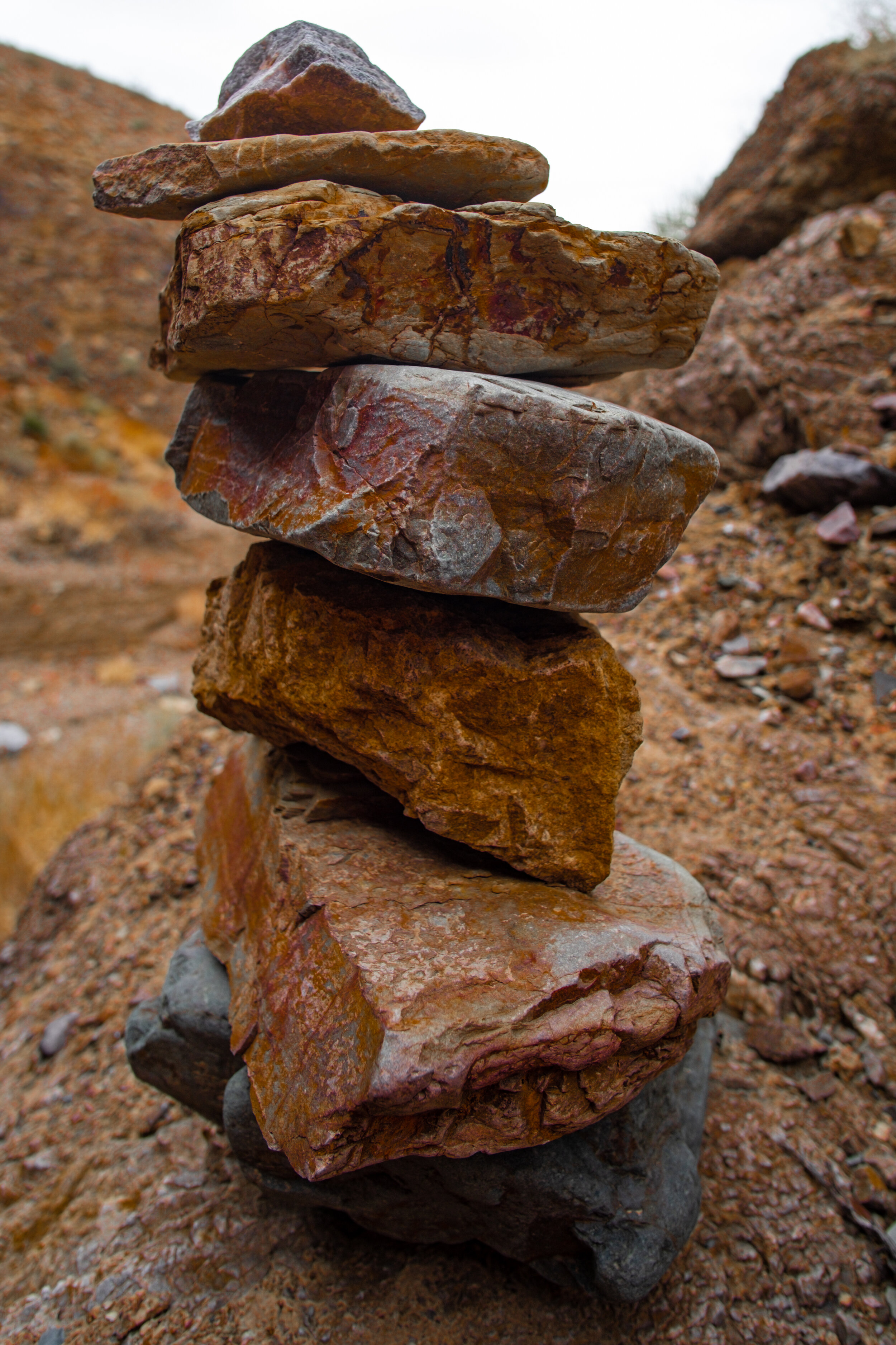
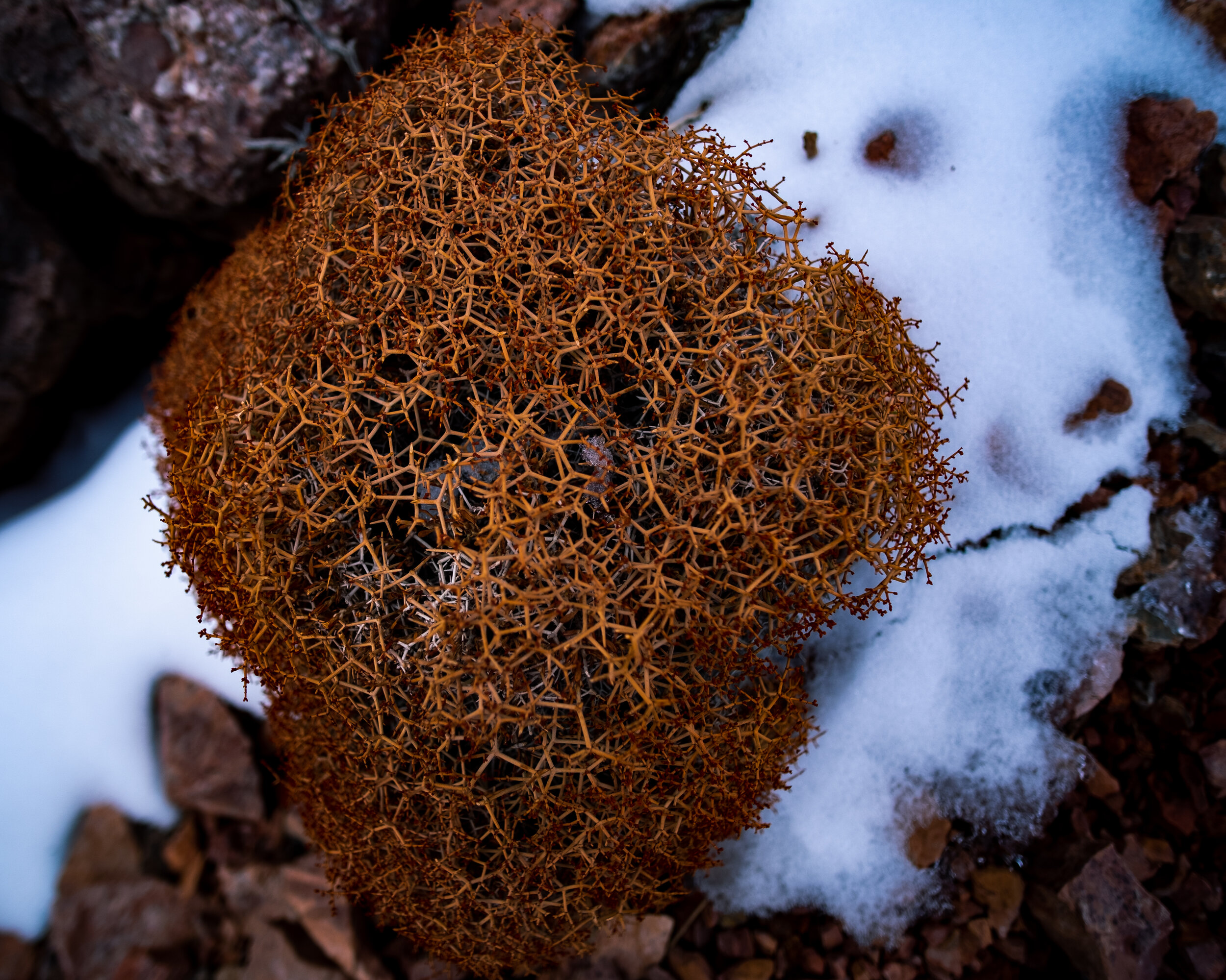
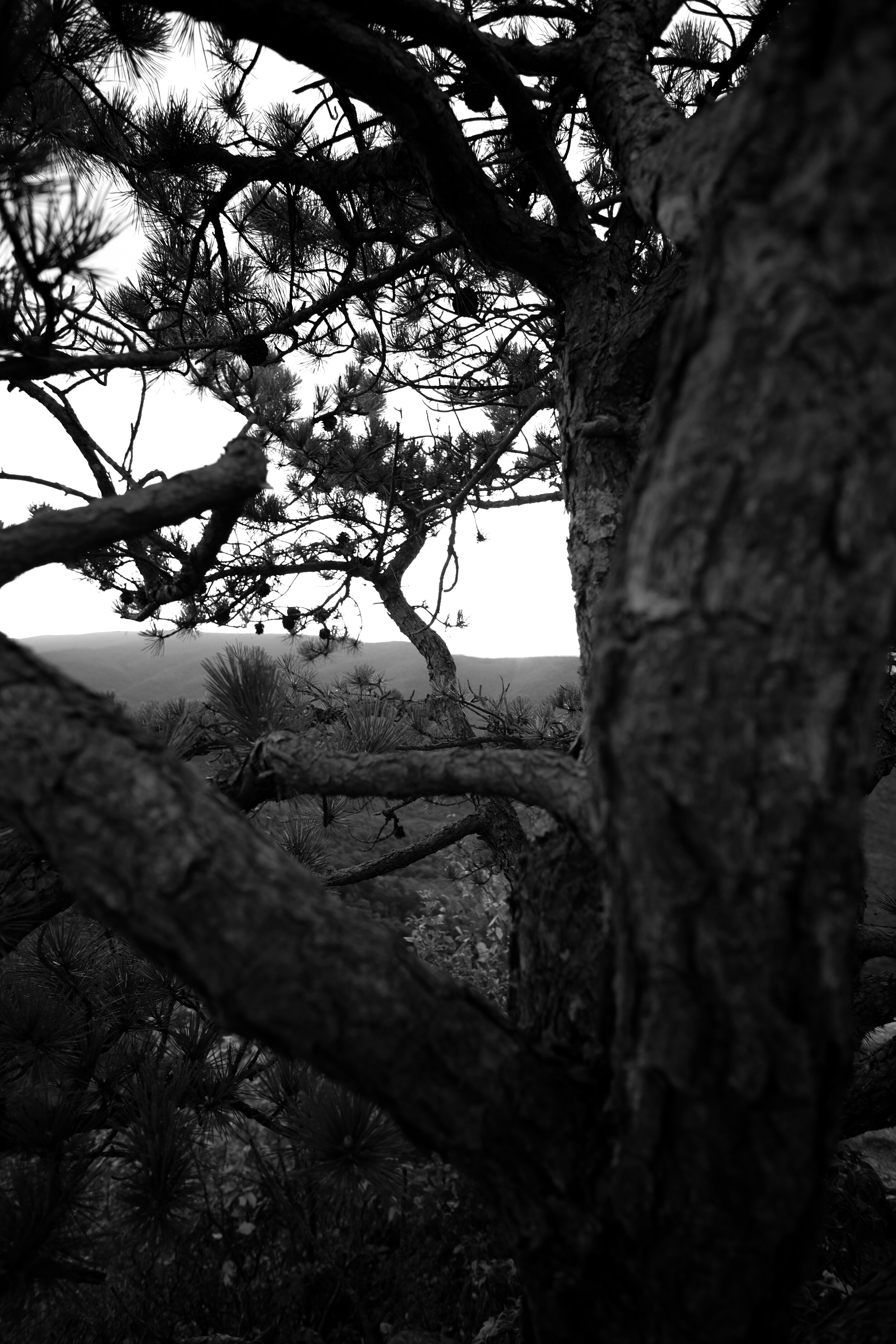
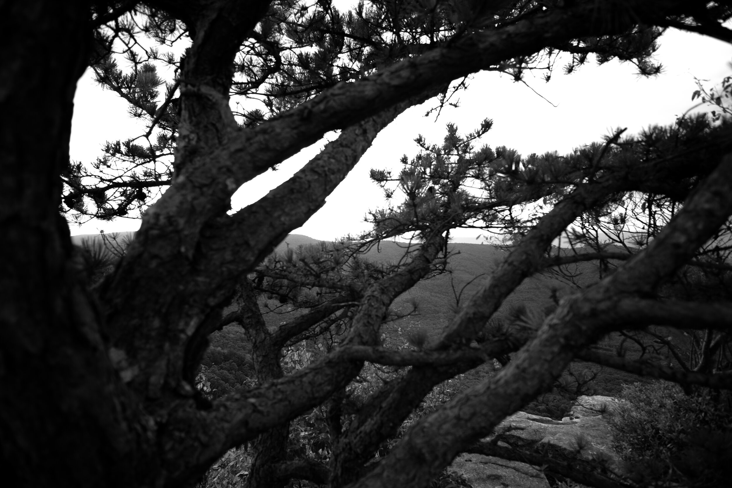
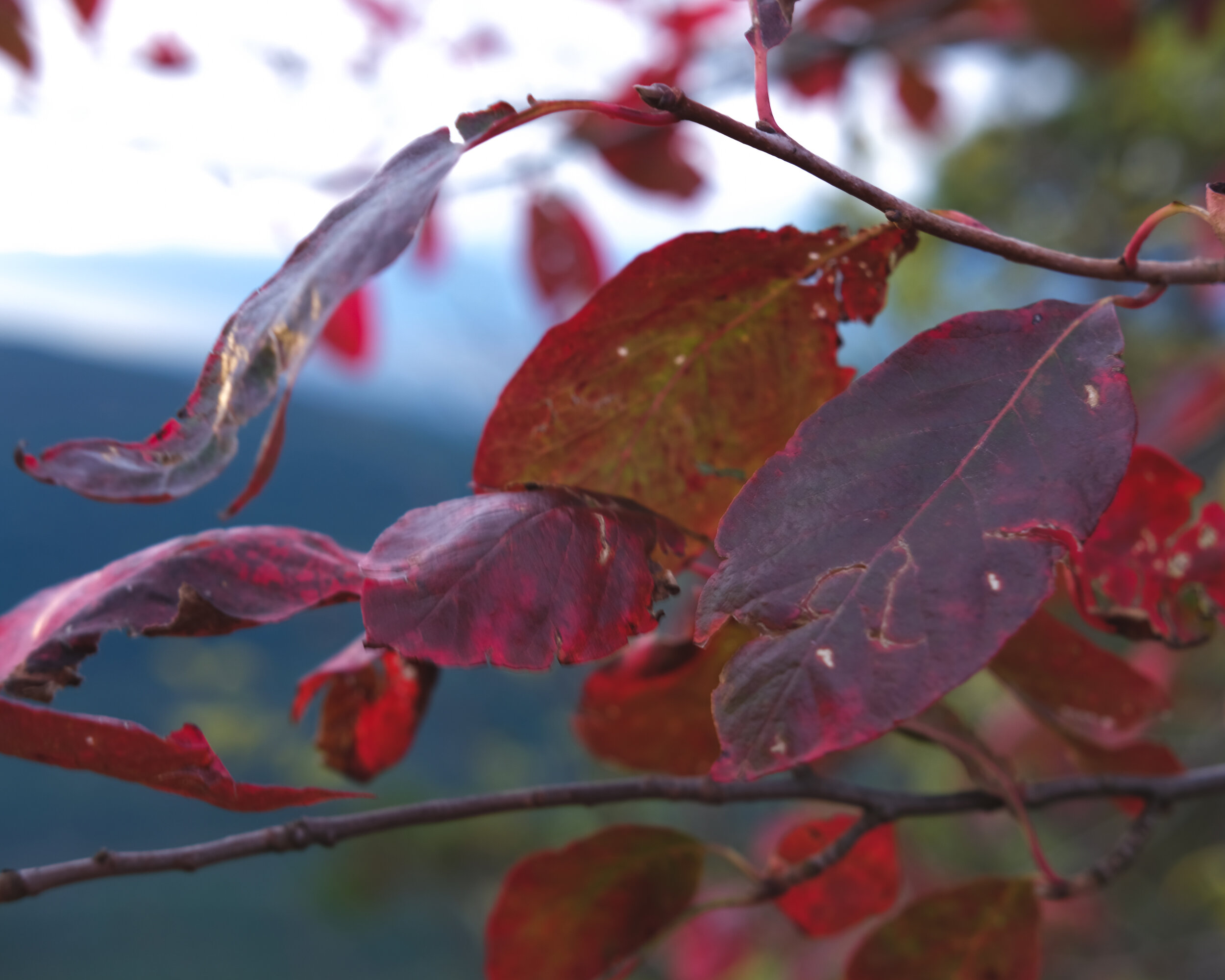
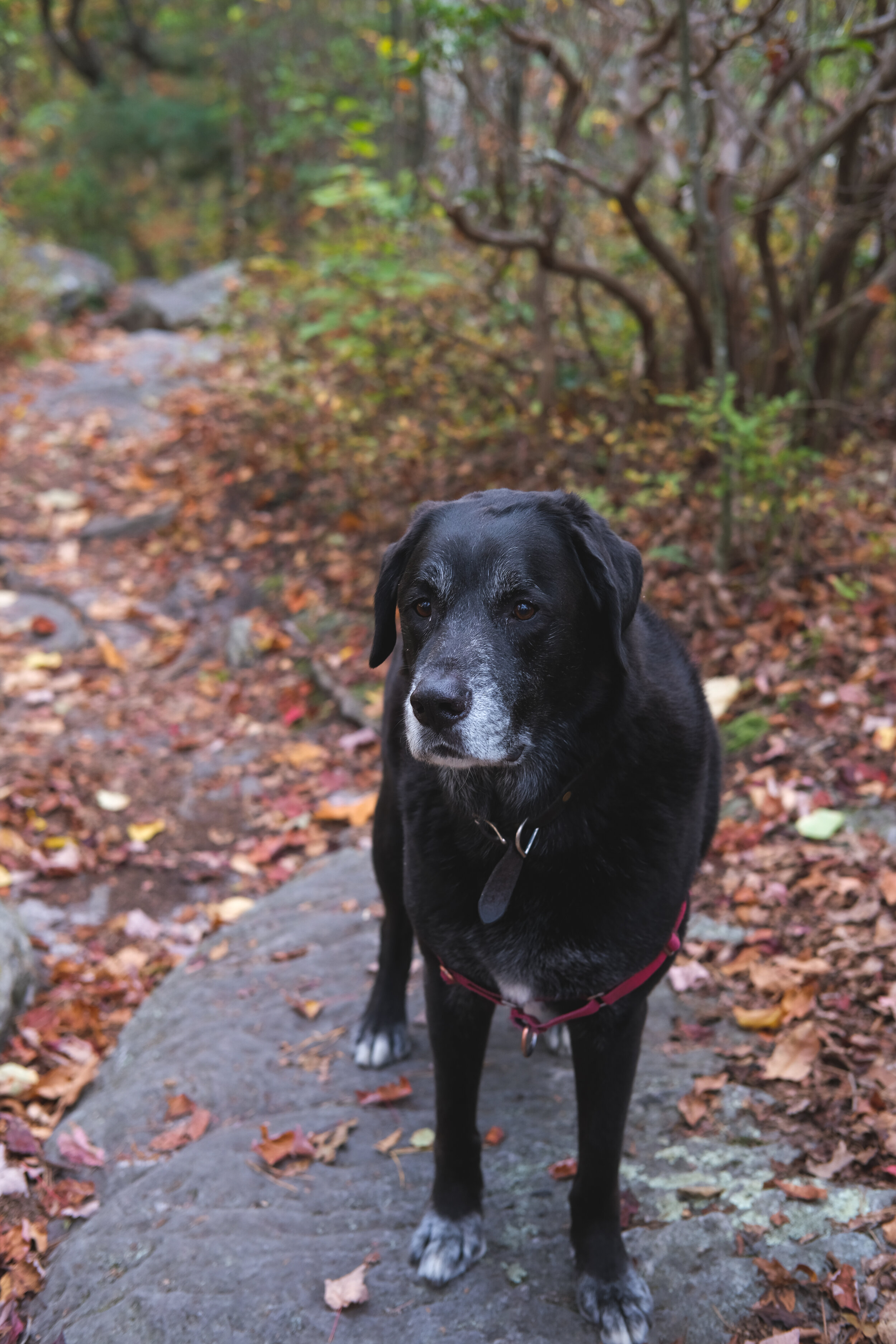
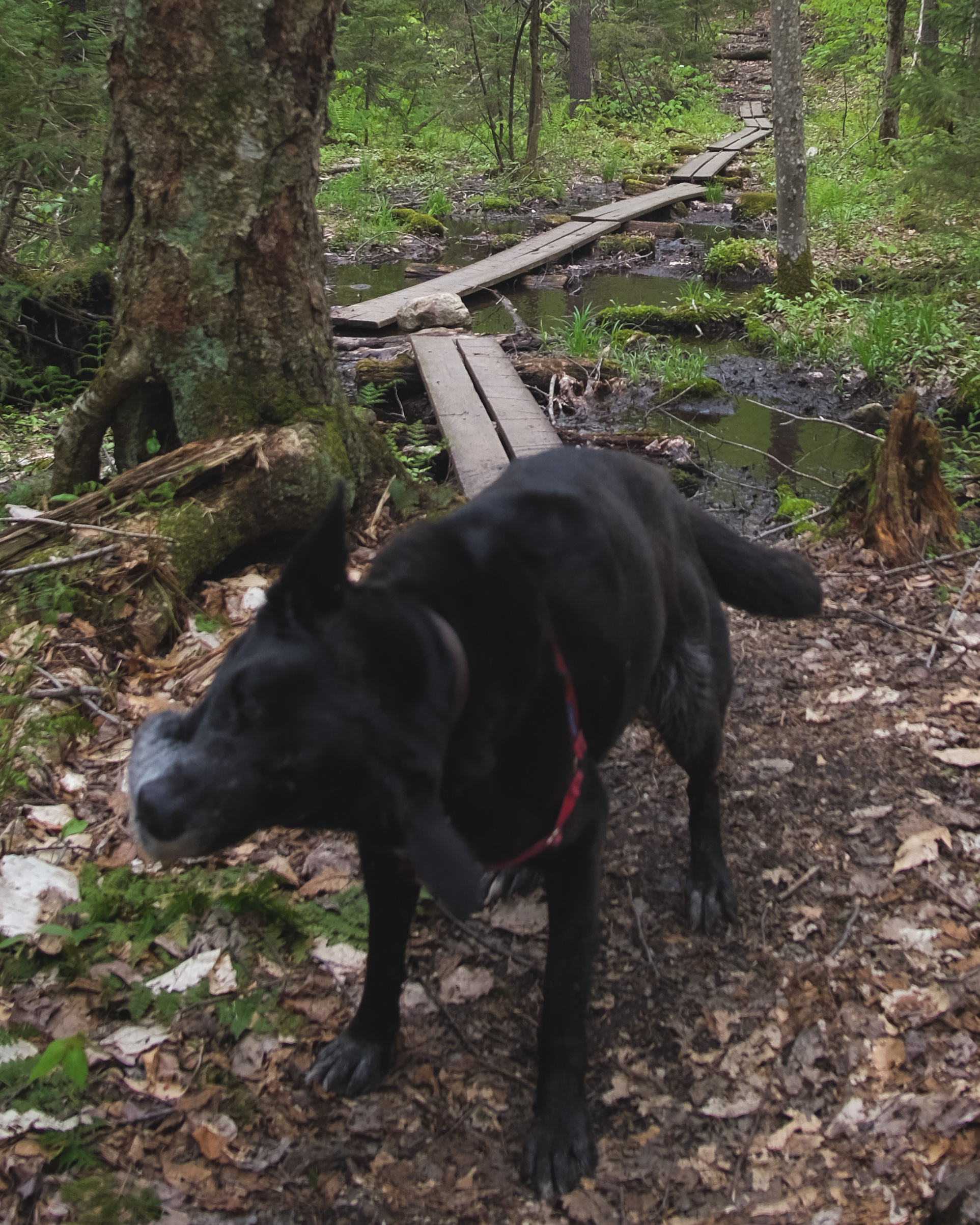
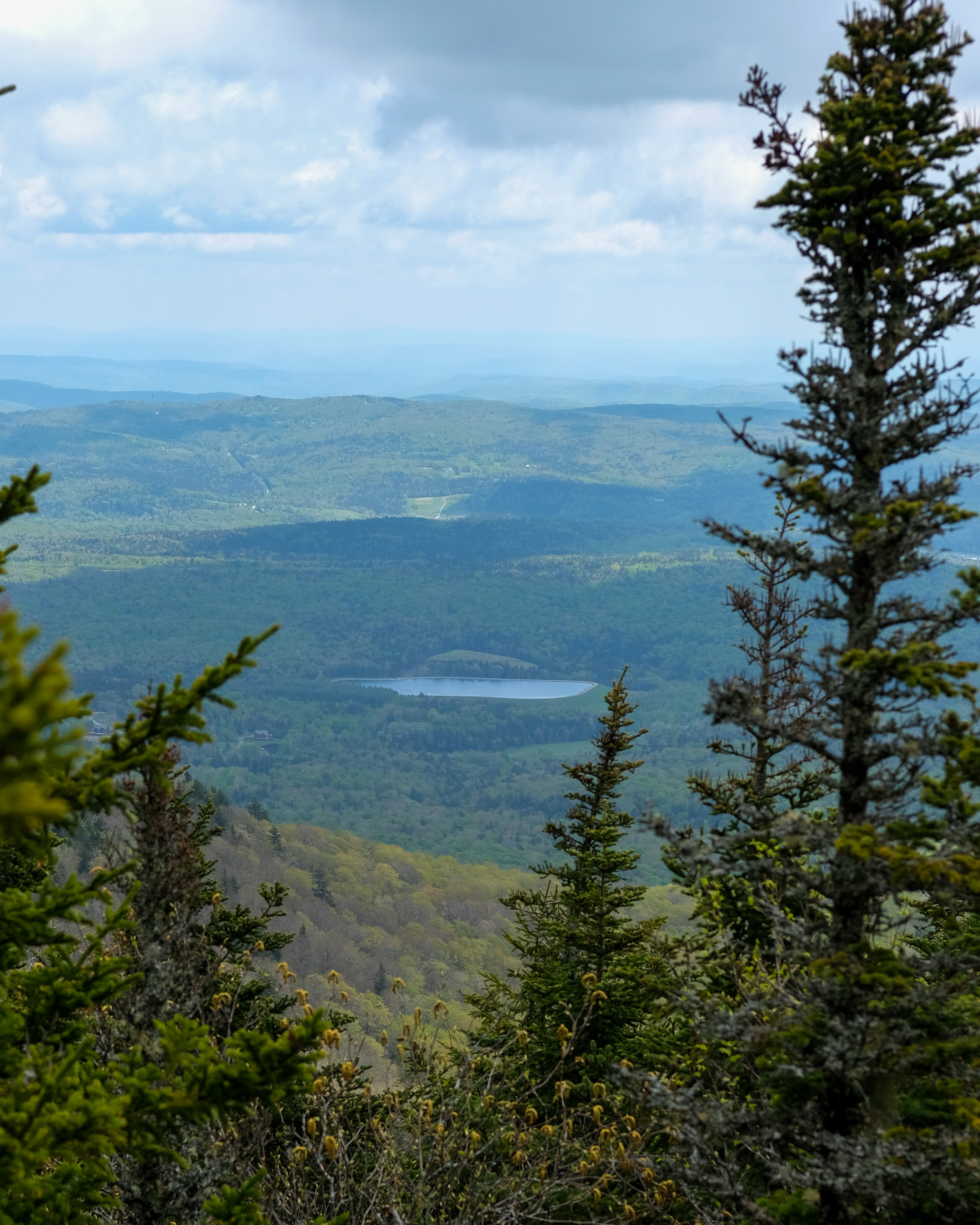
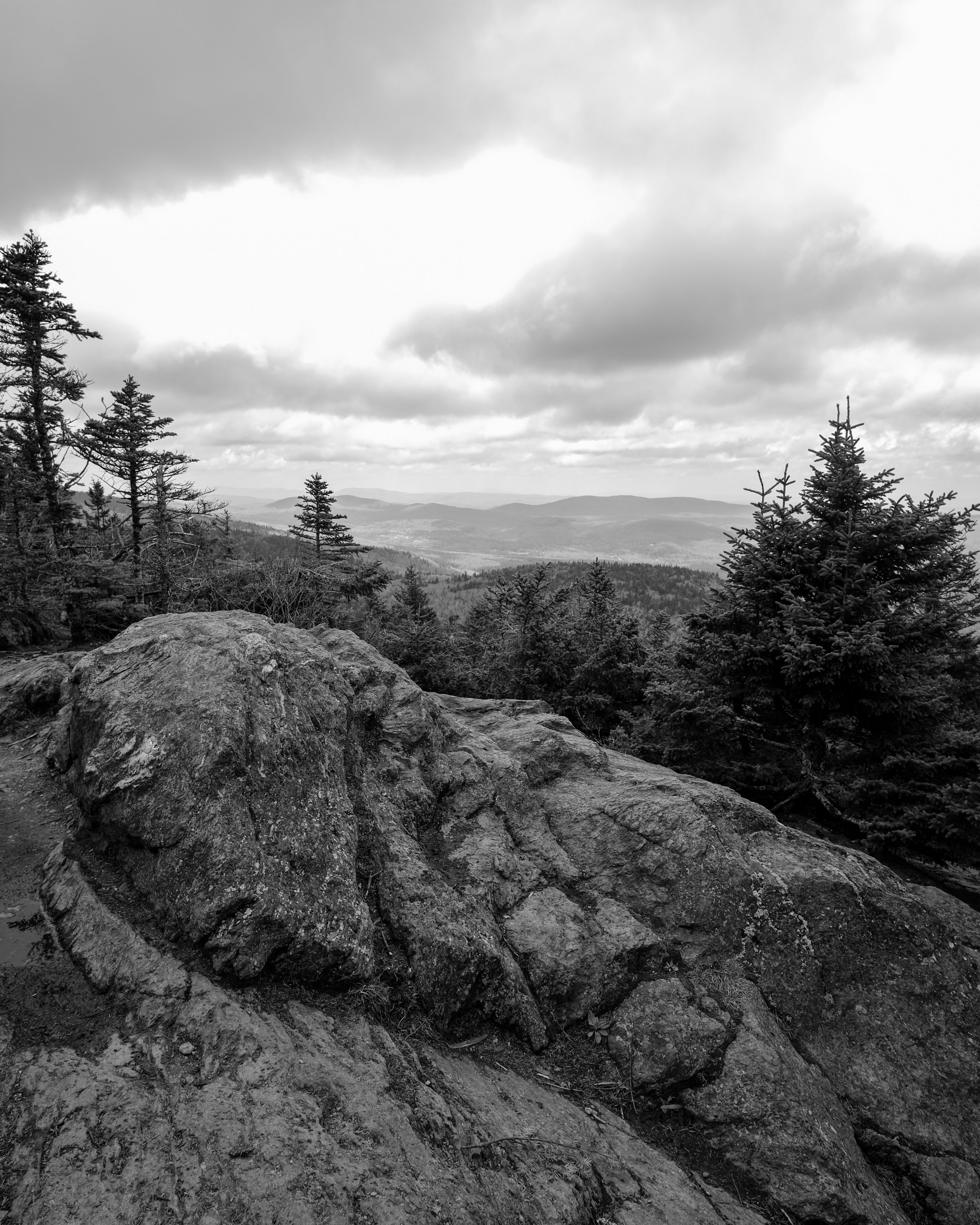
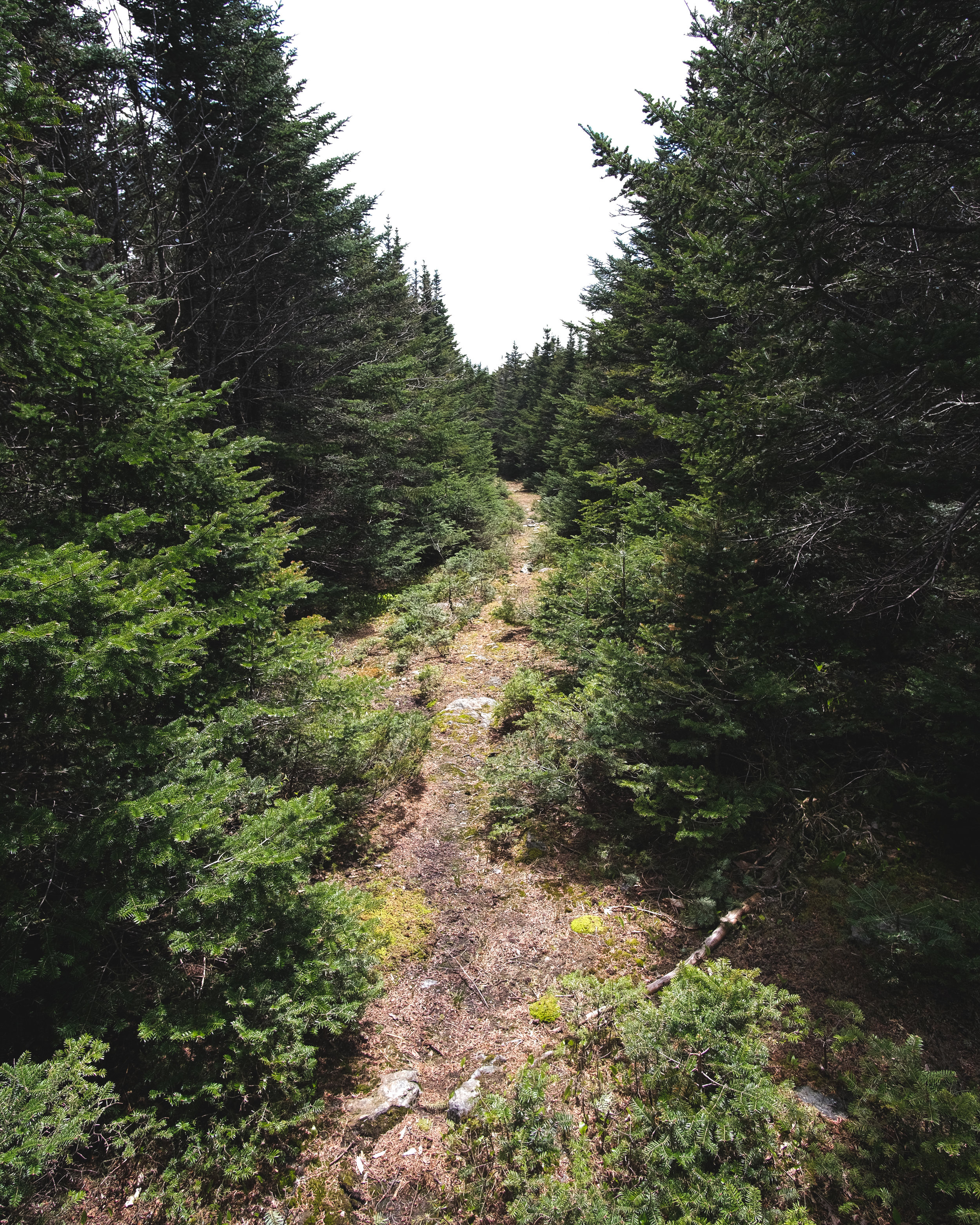
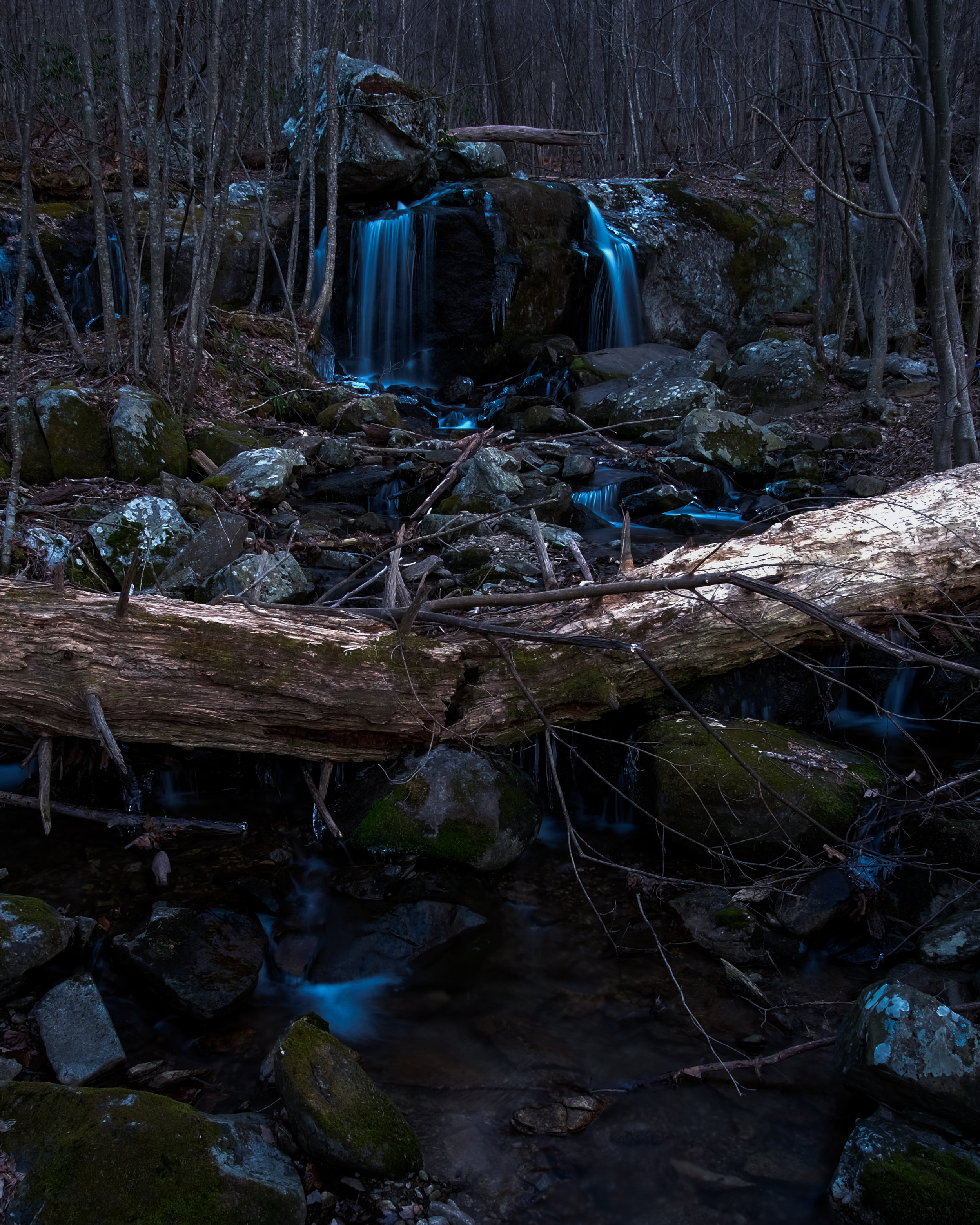
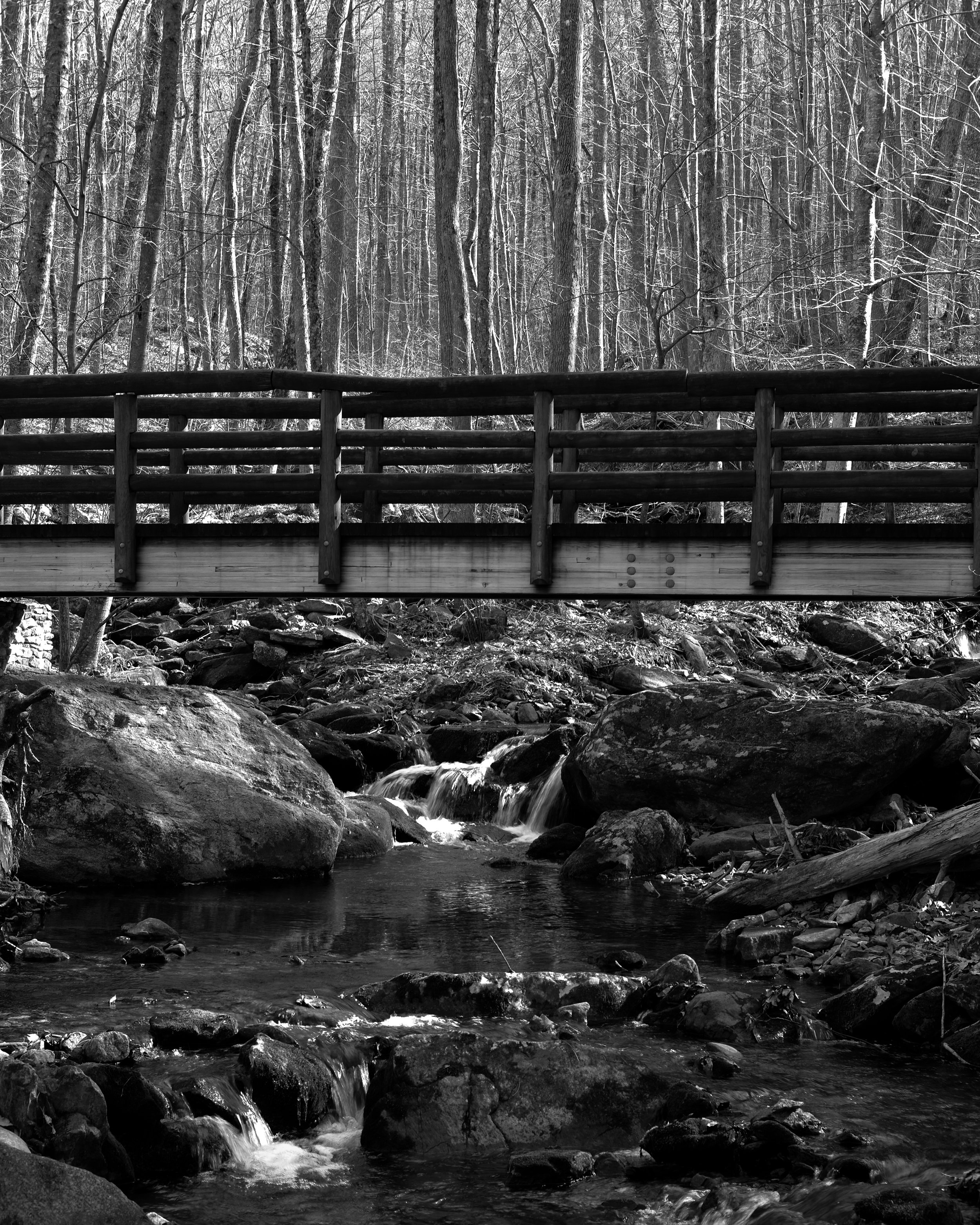
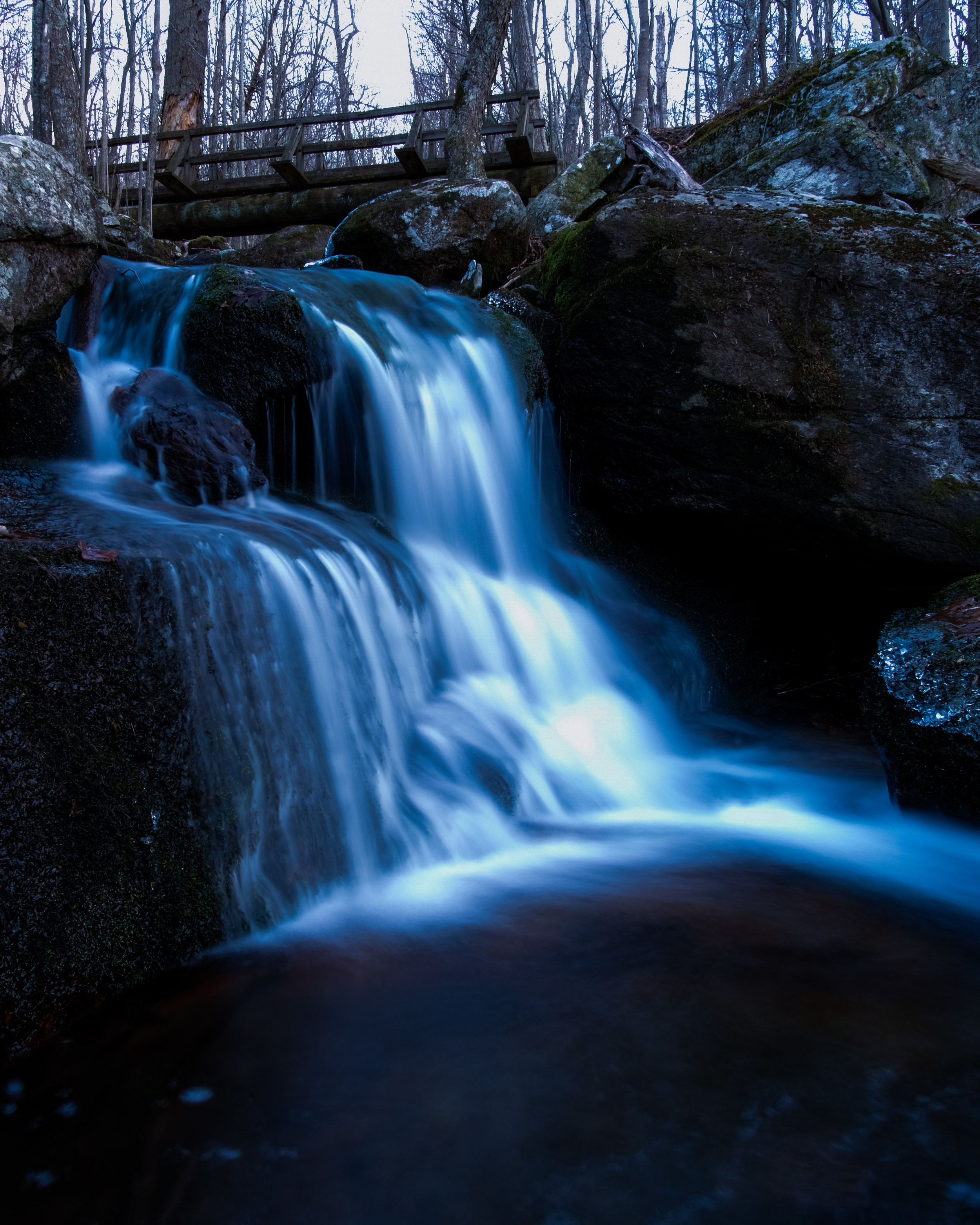
Some scenes from a delightful night in the woods, searching for a comet called, Neowise.
Alabama Hills, Death Valley, and Year of Maximum Enthusiasm
This recent trip to California may have closed out the decade but it jump started a new decade of maximum enthusiasm for adventures big and small, planned or impromptu, epic or epic failures, solo or with a pack. They’ll all have two things in common: largely human powered and the stoke will be high. Cheers to 2020 and beyond!
“In 2020, I urge you to notice when something is awesome, as it often is, and exclaim or murmur or just make a mental note of it.” - Semi-Rad
DECEMBER 26TH
The day after Christmas and all through central and southern California a winter storm is creating such a fright. The CalTrans road conditions website resembled the Beltway anytime a flurry floats from the sky. Translation: mountain passes in the Sierras were shutting down as snow levels drop below 4,000 feet, including Highway 58, which is where we’re heading en route to Lone Pine and Alabama Hills. Our plan is to spend Friday and Saturday morning at the base of Mount Whitney before scooting over to Death Valley to climb Telescope Peak at 11,000 feet but the storm is quickly throwing our plan into doubt.
Kyle and I search for alternative routes but nothing looks promising. After a few minutes we decide the best option is to take Highway 99 to Bakersfield from the Bay Area before turning east to Lake Isabella and Highway 178. We figure if we can get this far we can either find a cheap motel or an open campground for the night, and wait for the mountain passes to reopen in the morning.
Pulling into Lake Isabella around dusk, we stop for some firewood and head straight to the KOA since most Forest Service campgrounds appeared closed for the winter. Not wanting to drive aimlessly from campground to campground in the damp, frigid night, we determined our best bet would be the KOA. This was Kyle and my first night spent at a KOA. It was a curious place but it did the job, namely a place to legally park the car, build a campfire, sleep through the night, and poop in a toilet in the morning.
DECEMBER 27TH
Kyle: I think it’s raining.
That’s impossible but he was half correct. The forecast was supposed to be clear the remainder of the weekend after the storm cleared out Thursday night but as we climbed out of the tent, it wasn’t rain pelting the rainfly but snow. At 2,500 feet! Fortunately, the sun poking through the clouds around us confirmed this was just a rogue snow shower. The snow eased up as we pulled out of the KAO and continued up Highway 178 under clearing skies and snow blanketing the mountains. As we rounded a corner in the valley we came along a line of stopped cars. The pass was closed. Without cell service and limited radio we decided to ride it out—agreeing there were worse places to be stranded. We chatted with our fellow stranded motorists and learned this was probably the only pass close to being reopened but as highway patrol was driving the pass to reopen the road, the officer ran out of gas. The pass had been plowed but now we were waiting for a gas can to be delivered to the stranded CHP officer. I hope his colleagues never let that down.
After a short delay the pass was reopened and we were on our way to Lone Pine where we would be greeted with additional troublesome news. We stopped at the visitor center and saw disappointing news on the road closure board. The winter storm hammered Death Valley and shut the road down to Telescope Peak too far from the trailhead to make a day summit impossible. We decided to enjoy our time in Alabama Hills and would return in the morning in the hopes the road would be cleared in the morning.
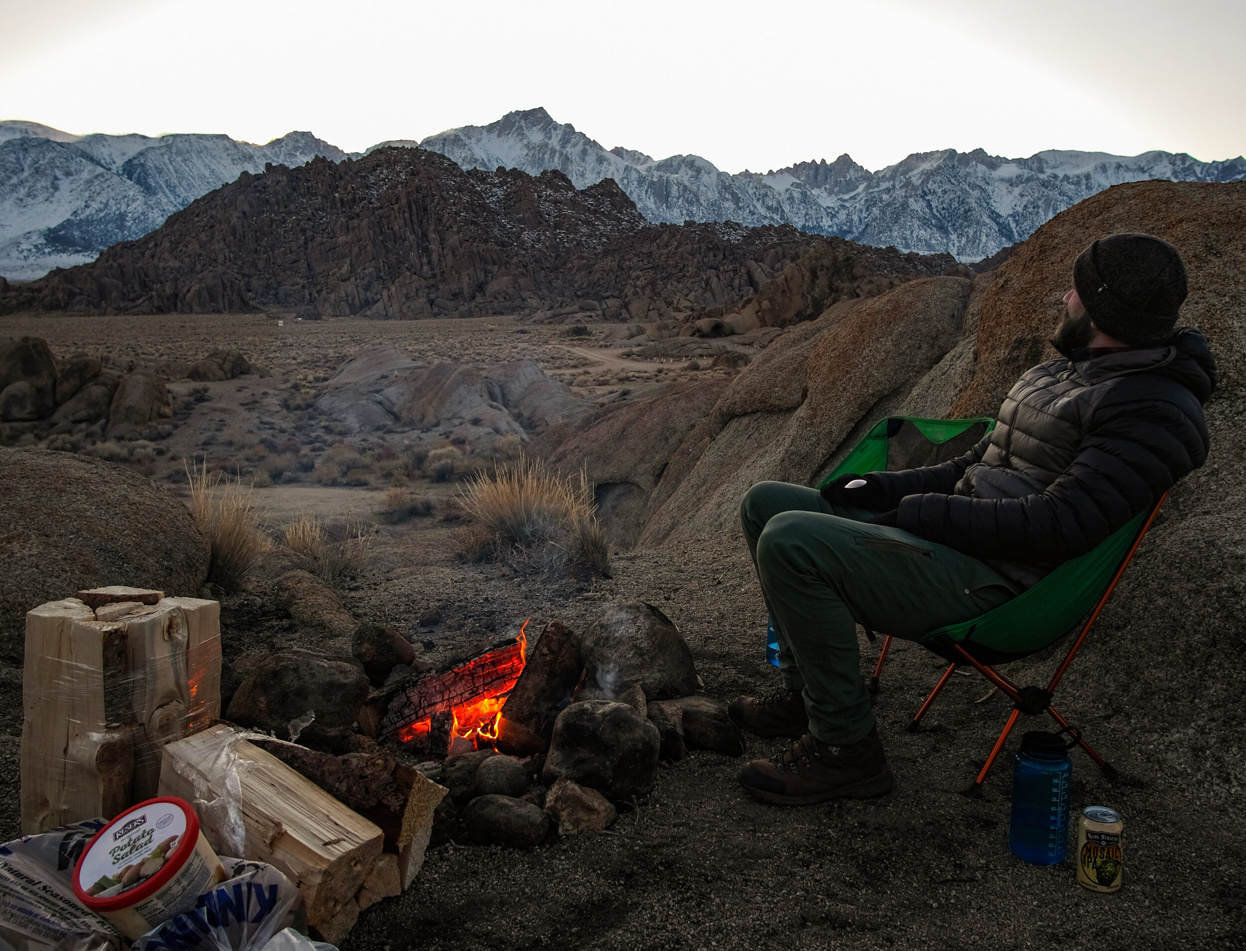
As the storm blew out of the region it left behind wickedly frigid winds. After setting up camp and exploring nearby rock formations, we endured the bitter wind chills long enough to drink a beer while enjoying the alpenglow, cook dinner and dodge flying sparks from our campfire, praying we wouldn’t suffer a direct hit and puncture our puffy. Sadly we suffered a casualty when Kyle walked away from his chair and the wind blew it over into the campfire. The chair survived with some missing mesh webbing but little worse for the wear. Credit to REI for making a sturdy camp chair.
DECEMBER 28TH
As dawn broke over the vast eastern Sierra range, we popped awake and poked our heads from the warmth of our mummy bags (which were in full “mummy-mode”) out into the frigid desert. The soft light striking Mount Whitney right outside our tent doors was the only motivation we required to fully emerge from our cocoons. We dragged our sleeping bags out of the tent, climbed back in and watched in awe from our chairs as the sun’s rays moved across the range.
Later in the morning we made our way back to the visitor center, hopeful road conditions in Death Valley improved enough to put Telescope Peak back in play. The road to Telescope was still impassable. Dejected, we studied the map for alternative trails and peaks in the park. The ranger behind the counter tipped us off to a 5,800-ish foot peak called Corkscrew. We thanked her and agreed to discuss our options over a hearty breakfast at a local cafe.
After a brief discussion over hot coffee we decided to spend another day at Alabama Hills soaking in this vast landscape. The gravitational pull of Mount Whitney appearing steps from our tent door was too strong to leave so suddenly.
DECEMBER 29TH
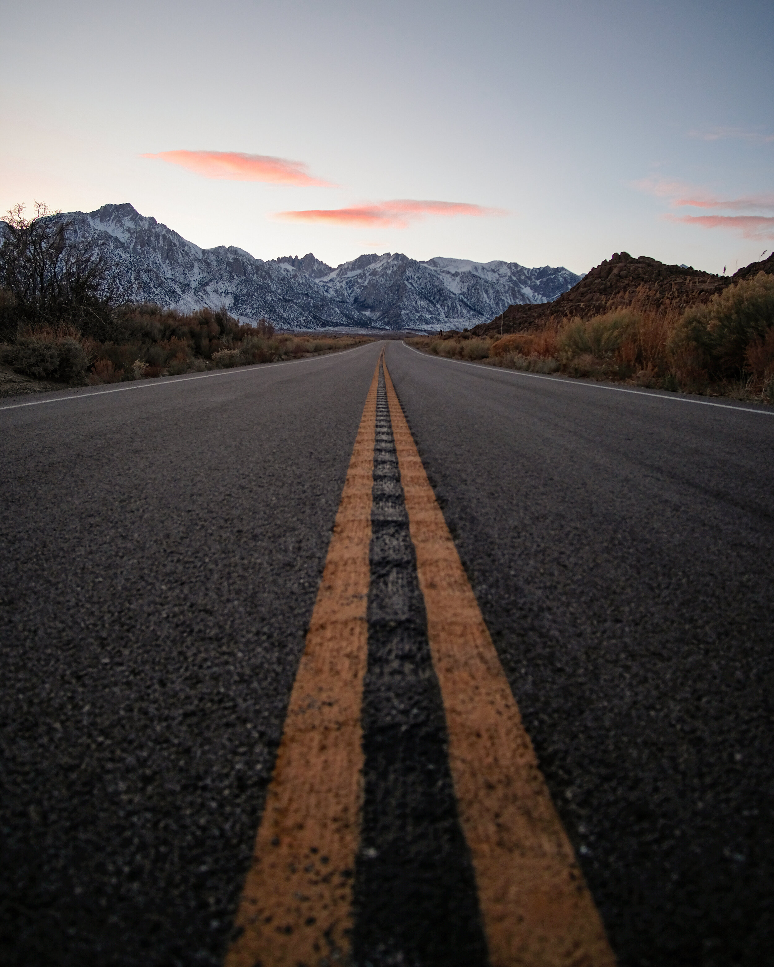
The alarm went off at 4am. With the car and our day packs ready to go, we quickly broke down the tent and climbed into the car. Death Valley was a two hour drive across a dark desert highway, then another forty minutes or so to find the trailhead to Corkscrew Peak.
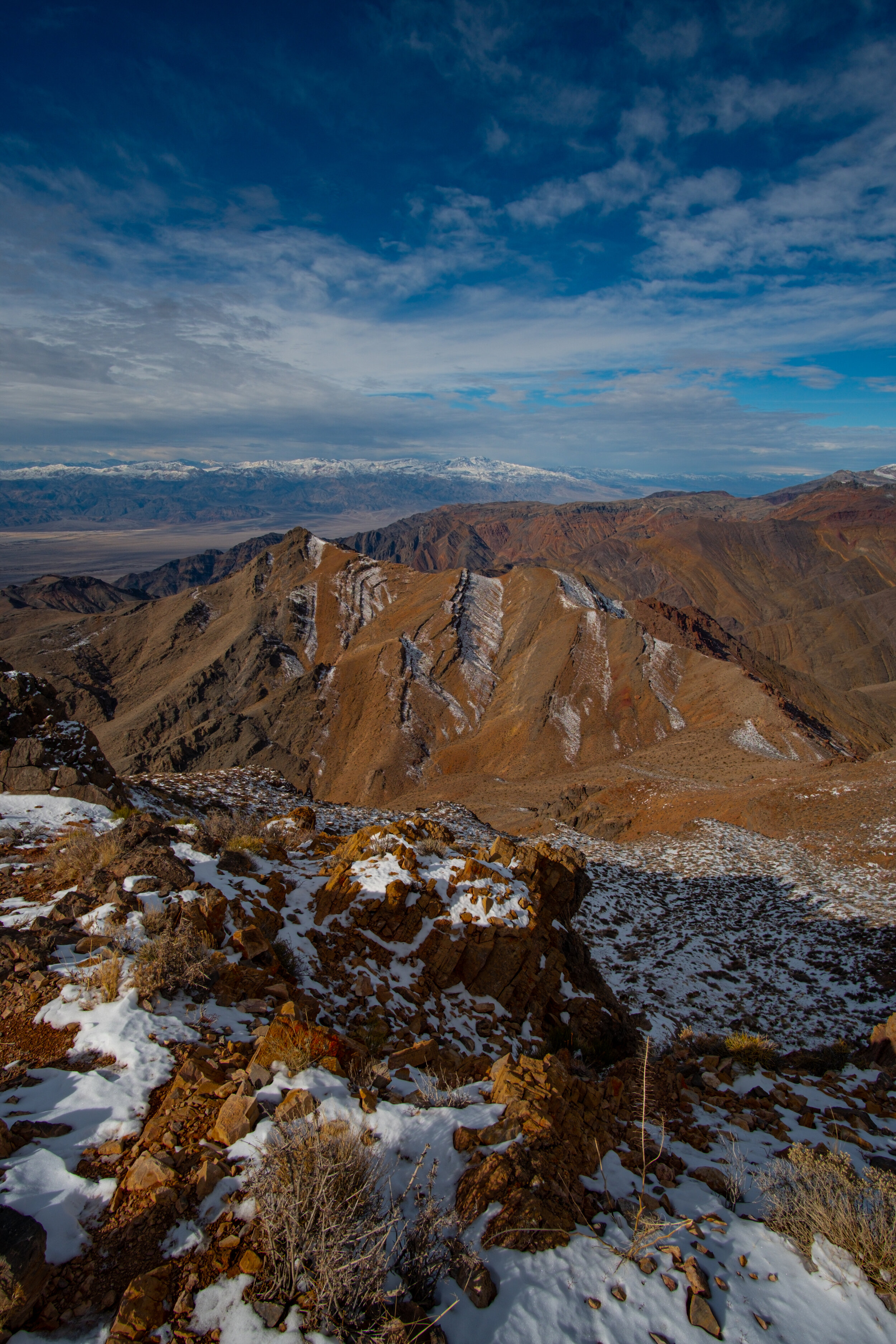
First light came as we entered the park and the sight was more stunning than we could have imagined. Several inches of snow in Death Valley is a striking contrast, though it is not uncommon at the higher elevations of the Panamint Range, snow on an alien landscape provides an otherworldly beauty.
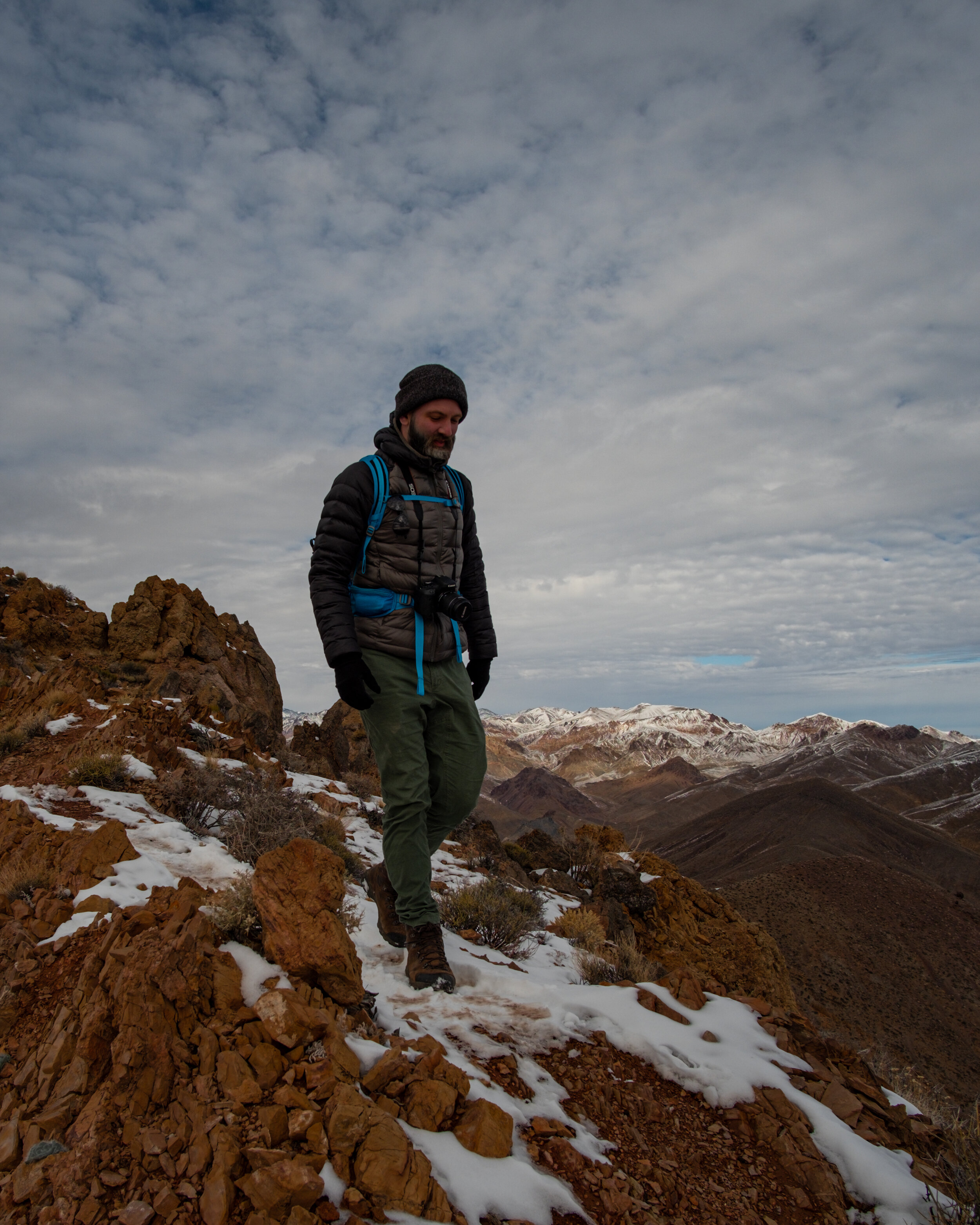
We parked the car at the trailhead and began our ascent of Corkscrew Peak a quarter before 8. The weather was chilly but the climb quickly warmed us as we exited the wash. It was a four mile hike with over 3,000 vertical climb to the summit. Across the valley we could see Telescope Peak in all her glory. We could only dream of the experience climbing that mountain on this trip but we verbally committed to returning in the future to experience it firsthand.
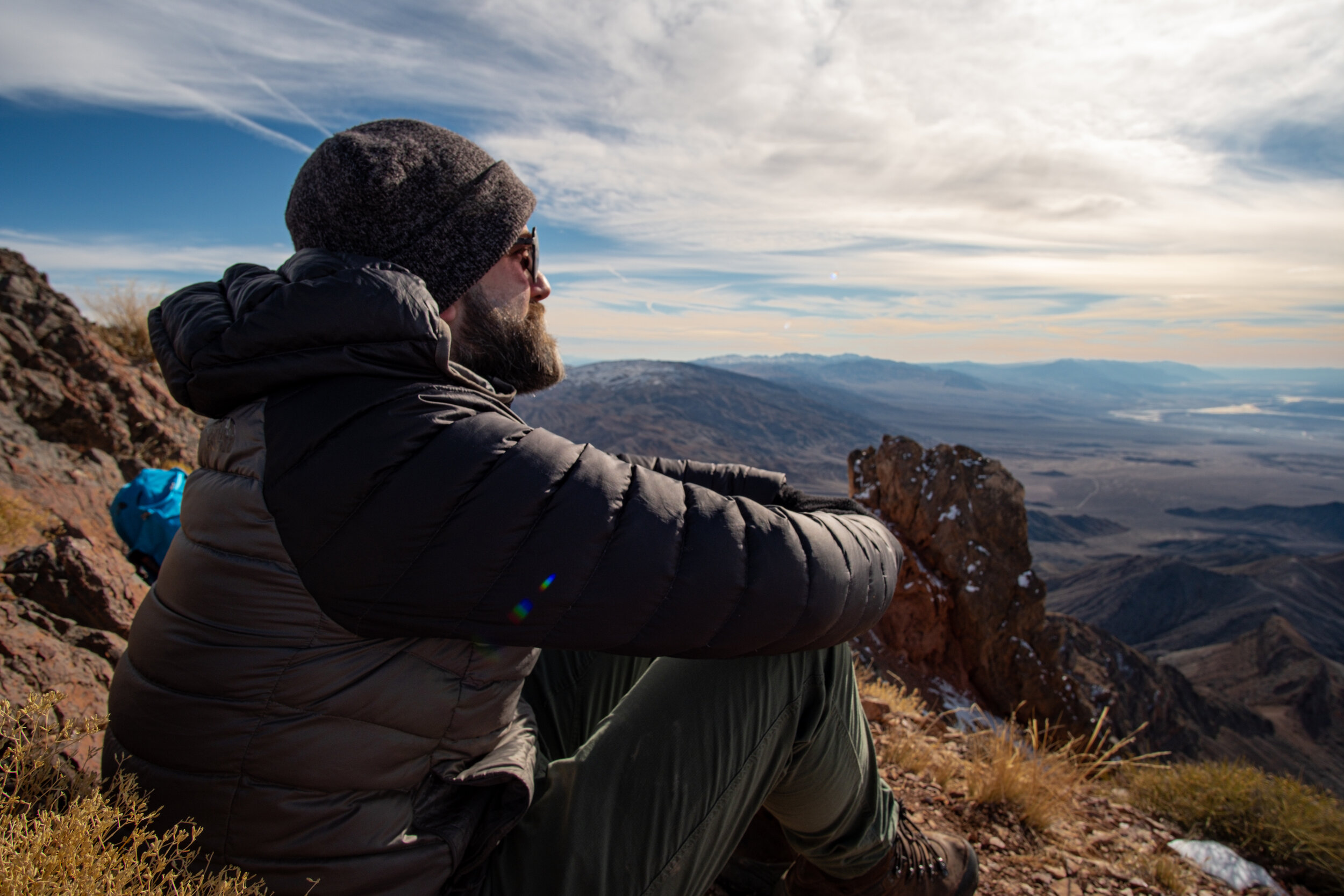
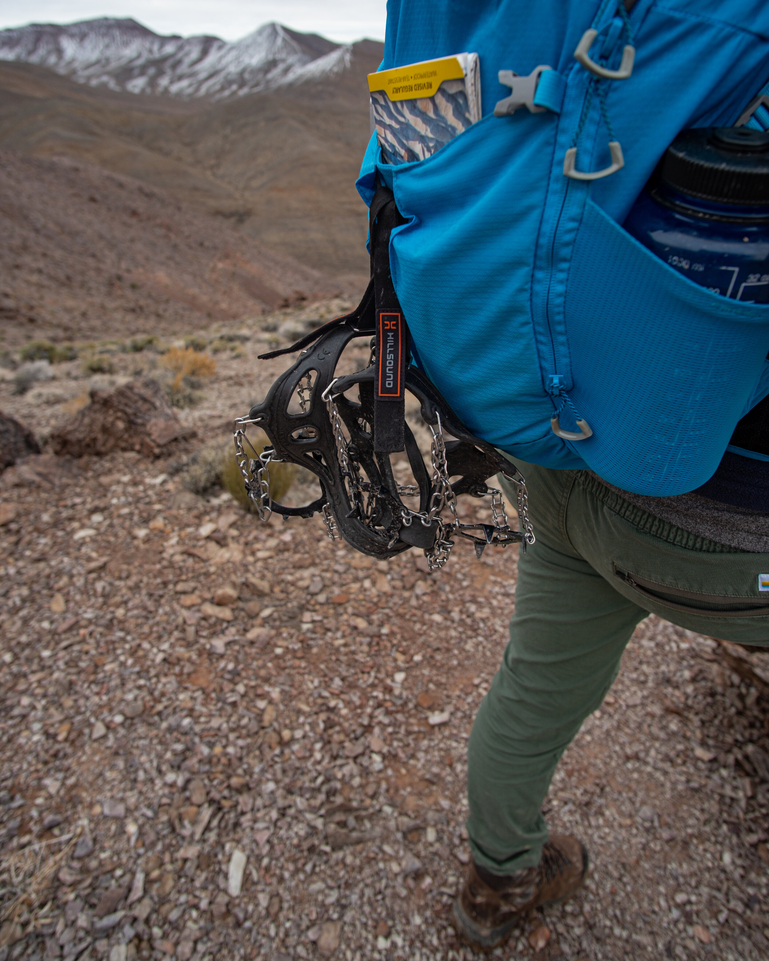
Crampons were required for a 150-foot section near the summit and when we topped out, the 360-degree views of snow-capped mountains and the lowest point on the continent were magical. Alone on the summit, we signed the register and soaked in the views, certain the experience is rarely replicated.
We left the summit as a thin layer of clouds rolled in, eager to return the summit beers we left in the car. Our quads burned on the descent and we named our horses (if we were ever to own one), returning to the car a little more than an hour after leaving the summit. We unfolded the chairs (one a little more crispy than the other) and admired the little mountain we never knew existed 72 hours prior.
It wasn’t the trip we had planned but a horse named Whiskey Tango and a horse named Creme Burlee won’t complain.
Waiting for Godot
A week ago I snapped. Sixty-two days of 90 degrees or more this summer and I couldn’t take it anymore. I bought a pumpkin spice latte. I’m not proud but something had to be done to let summer know it was no longer welcome. Message delivered.
Bushwhacking in the Green Mountains
Bushwhacking (verb). To travel through woods. Fun until it unequivocally is not; which usually occurs at precisely the point of no return, where turning back is as much a miserable idea as pushing forward. This is where we found ourselves last Sunday in the Green Mountains attempting a summit of Mount Snow from Haystack Mountain. But, before we continue, let’s rewind the tapes.
I’m full of half-baked, last minute weekend adventure ideas so the fact that I booked a campsite at the Greenwood Lodge in southern Vermont a few weeks out from Memorial Day weekend is a win for advanced trip planning in my book. We set out for the Green Mountain state at 5am on Saturday and checked in at the campground office a little after 1pm. Just enough time to setup camp and set out for a quick jaunt on the Appalachian Trail (Long Trail) before the dinner bell.
Memorial Day is the unofficial start to summer but that equates to mid-spring in New England, apparently. The higher peaks and ridges were still showing their winter browns as spring continues to march up the higher elevations. We parked the car off Rte 9 and set out on a stair master section of the Long Trail. The first three quarters of a mile were definitely a sweat-fest but the trail leveled off for the remaining mile and change to the overlook. It may not be summer but the mosquitoes and black flies are alive, well and persistent little bastards. Memories of the valley of death and dancing rock from last year’s trip in the high Sierras came flooding back when I paused to attempt a photo and was instantly swarmed by dozens of the largest mosquitoes I’ve ever seen!
We made it to the lookout but swarms of black flies didn’t keep us there for long, plus it was time to head down and get a fire going for dinner later, so after a quick water break and a few photos, we made good time back down to the car.
Dinner was a delicious tri-tip steak, grilled to perfection. We settled in for the evening and as the sun dipped over the horizon, the black flies dissipated and we were able to enjoy the fire’s warmth until our eyelids turned heavy. As we settled into the tent for the night, a light rain pitter-pattered on the tent. Perfect timing.
Sunday morning was foggy and surprisingly cold. Itching to get a jump on the day, we gobbled down breakfast, threw gear in the backpack and set out for a trailhead about 20 minutes drive from the campground. It was difficult to know what the weather was going to be for the day. Was the fog going to stick or would it eventually burn off? The conditions and lack of a paper map of the region’s trails, we picked a hike that would give us the option to go further if the weather cooperated.
The fog started to break around the time we pulled up to the trailhead to Haystack Mountain. Up on the ridge the trail turned to a muddy bog in sections but otherwise it was an easy push to the summit. The views were everything we hoped for. With the clouds breaking the temperature steadily climbed we had a decision to make. Push on along the ridge to Mount Snow or head back to the campground and hangout for the afternoon. We decided to make the three mile push to Mount Snow.
And this is where we find ourselves. The trail from Haystack Mountain started out fine but things quickly devolved. First, it was knee high bushwacking through pine saplings. Then it was thigh high. Waist high. Chest high.
We didn’t make it to Mount Snow. Bushwacking is all fun and games until it is not.
Third Time's A Charm
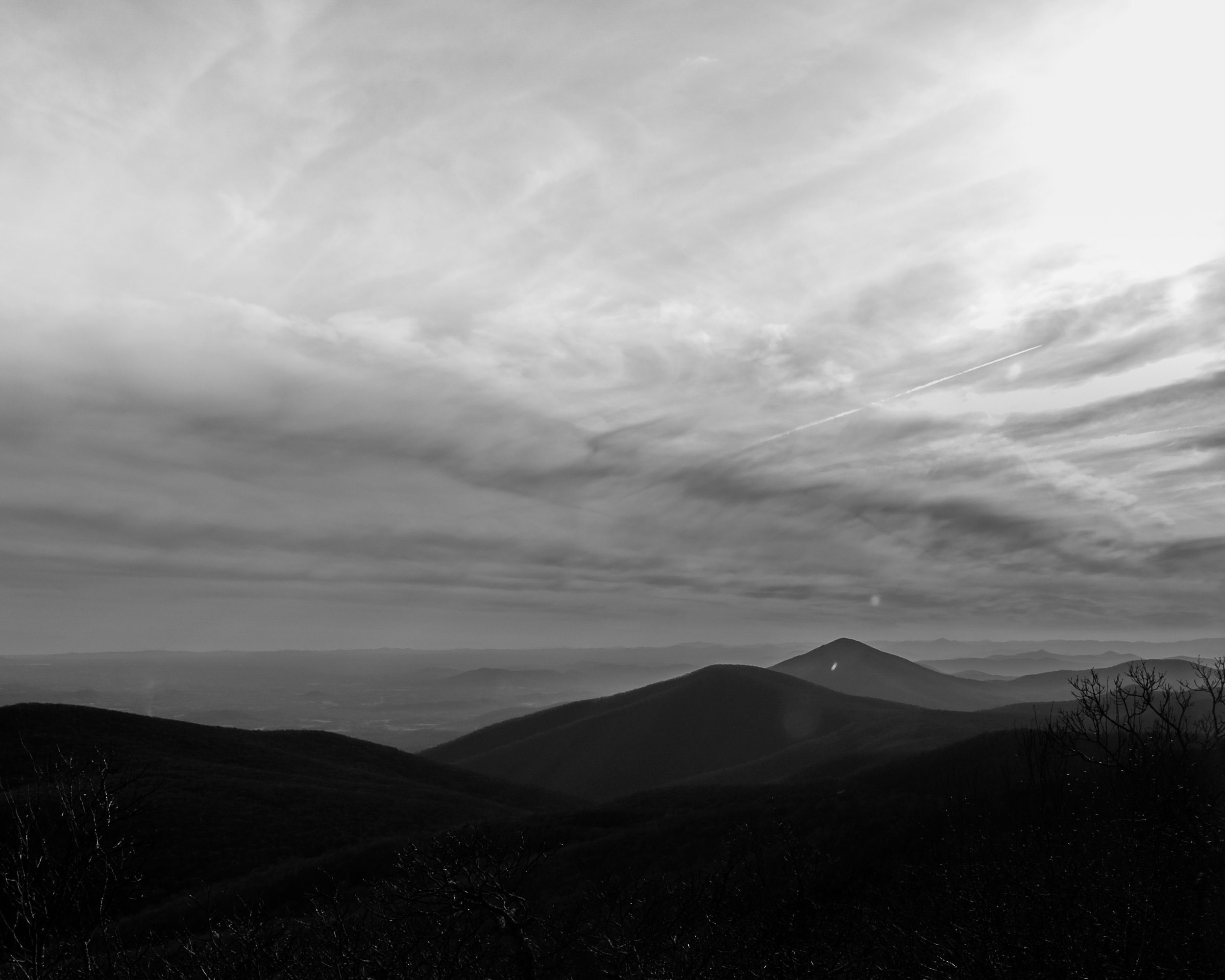
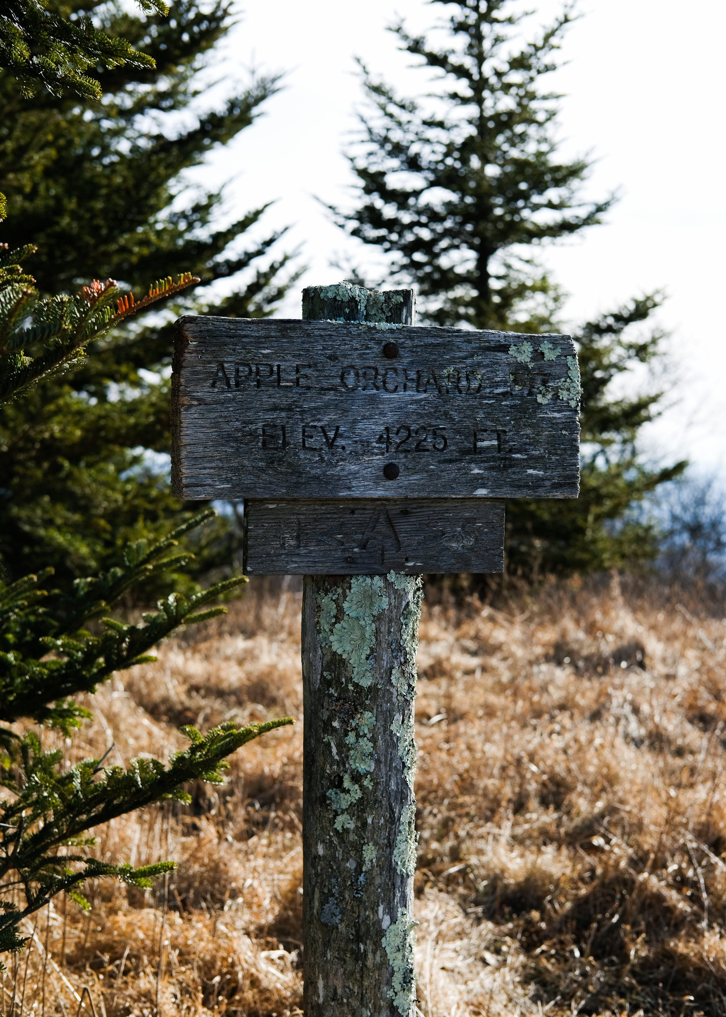
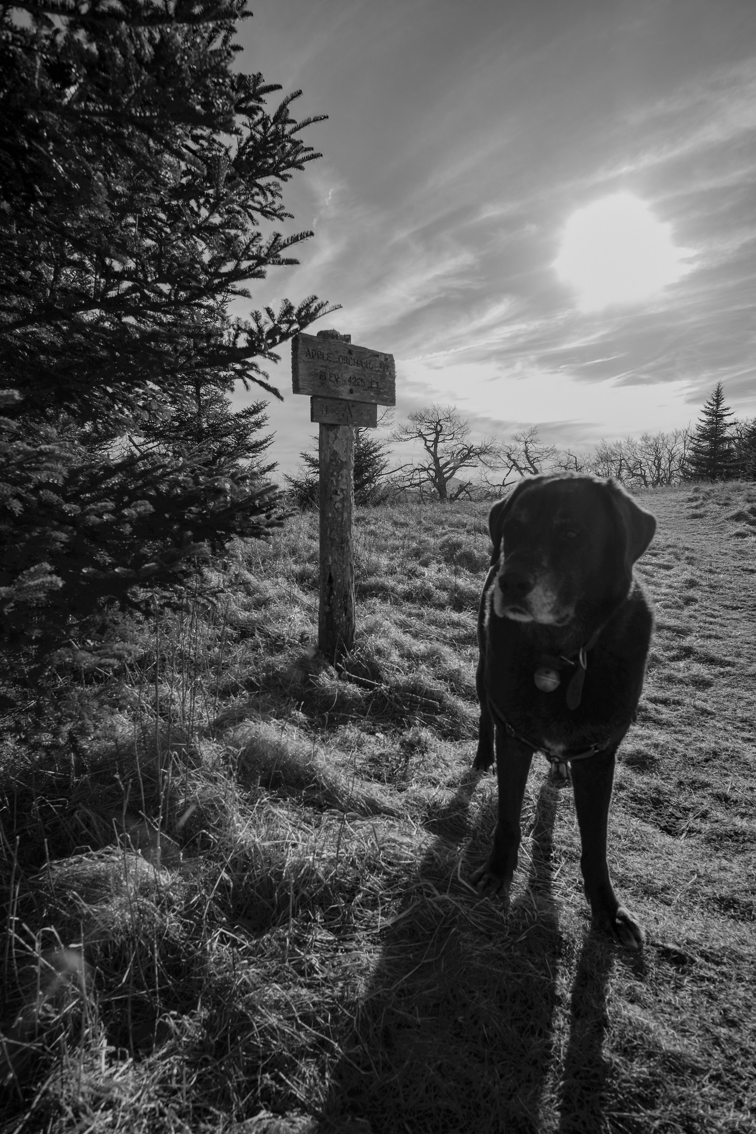
Almost a year after the idea was conceived, I finally bagged Apple Orchard Mountain on the AT off the Blue Ridge Parkway. Sitting at a modest 4,225 feet, Apple Orchard Mountain is the…a hell, nobody has calculated a complete list of peaks on the AT based on elevation. It ain’t the tallest and it ain’t the shortest. The summit exceeded all expectations and has easily moved into my top 10 favorite spots in the Appalachian Mountains.
Summit Attempt #1
I never made it out of the neighborhood. A last minute, hastily thrown together plan (actually, a pretty standard plan) to meet a friend at the campground below Apple Orchard Falls on a Friday night after work meant leaving the office early to race home, pack up the car and attempt to get ahead of the evening rat race home. As I put the car into gear and pulled away from the curb I heard what sounded like my drivers side brake falling off the car. A quick inspection under the car revealed no metal dangling from the undercarriage—that’s a great sign—carry on.
A few minutes of ear-piercing metal-on-metal scrapping sounds and I had visions of the Green Hornet catching fire on I-81 south in the Shenandoah Valley and made the decision to bail on the trip. I called my friend up, let her listen to the awful noise screaming from my tire. Fortunately she was still in her driveway and not already out of cell service. I returned to the house, dejectedly parked on the street, popped the back hatch pulled out a beer and sat with the dog bummed out about the whole thing. Not only did we bail on the weekend but we were making an appointment to take the car into the shop. A double bummer.
Summit Attempt #2
Fortunately it turned out to be a big ass rock stuck between my brake and tire that was the source of our troubles in our first summit attempt. No charge to remove the rock and no major damage to the car—whew! But seriously! A rock! What the hell.
Anyway, we rescheduled the trip a few weeks later and this time we made it out of the neighborhood without any trouble. Pulled into the campsite late just as my friends were turning in for the evening. A quick beer and a little chit chat and it was time to get some shut eye. The plan was to catch sunrise at the summit which meant a 4am wake-up call.
We misjudged our timing in the morning and despite our best attempts to hustle up the mountain, we didn’t quite make it to the summit in time for first light. The steep ascent really kicked our butts and the last mile of trail seemed to go on forever. We were never quite sure what the view at the top would be anyway and so we made the decision to stop short of the summit and catch sunrise through the trees. Not ideal but…coffee and breakfast. After sipping down a hot cup of instant Starbucks we made our way back down to camp to pack-up and head our separate ways for the weekend. We fell short of our goal but any time spent with friends in the woods is worth it. I vowed to be back soon.
Summit Attempt #3
Almost a full year since the first summit attempt, I was back for another go. This time for sunset. This time we reached our goal. About 9 miles total with more than 3,000 feet elevation gain. The views from up top where stunning. We made our way back to the upper waterfalls to hangout for sunset. The view across the valley wasn’t perfect but had some fun shooting the waterfalls at dusk. After eating dinner and drinking a mountain-stream-chilled beer (is there anything better?) we headed down the last 2 miles to the car. On the way down we witnessed one of the most beautiful sunsets I’ve seen in Blue Ridge. It was surreal. Like viewing a painting. I snapped a few pics with my phone as I had already packed my camera for the dark walk out. I sat on the trail and take this one in for myself. As the last of the light faded, I stood up, turned on my headlamp and we walked into the dark. Mission accomplished.


